GNSS Receiver


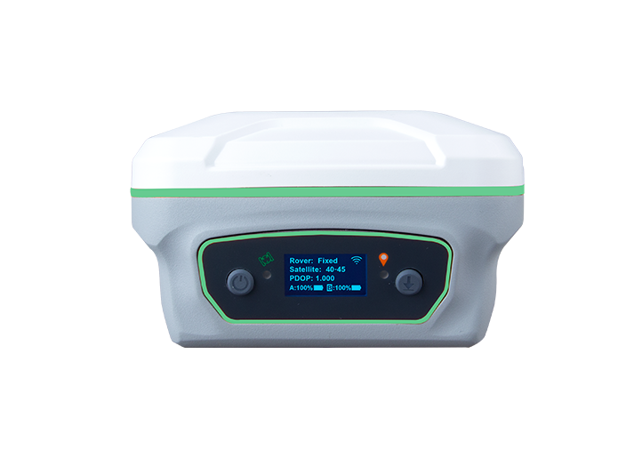
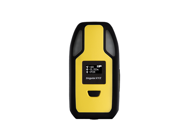
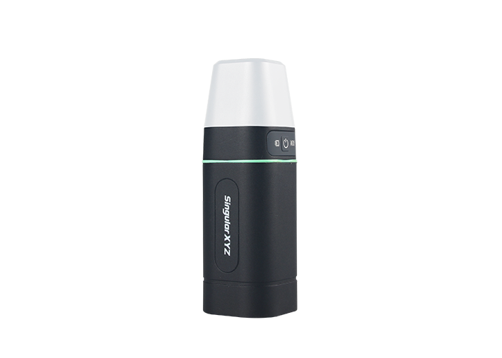
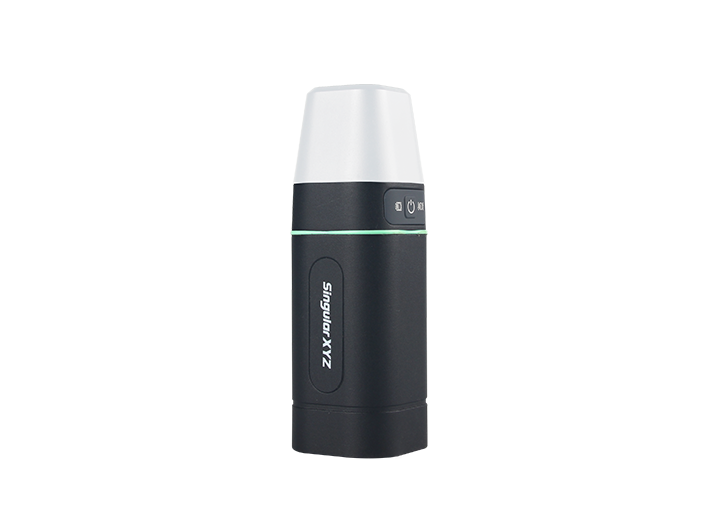
In modern GNSS surveying, stakeout tasks typically rely on maps with known coordinates. However, in some countries like the United States, Canada, or parts of Europe — especially when working with legacy survey maps, forestry records, or cadastral plans — point positions are are described not by coordinates, but by their azimuth and distance relationships.
This presents a challenge: how do you accurately stake out such points in the field?
In this blog, we'll guide you through the process of calculating coordinates from azimuth and distance relationships, using SingularPad software — enabling accurate stakeout based on legacy data formats.
Note: Before you begin, make sure your SingularPad software is up to date. You can visit our download center for the latest version
To begin, choose a known reference point or starting point and mark it clearly on the ground. And then set up your RTK base at this reference point.
Measure the base coordinates in Autonomous mode and startup base station at the measured base coordinates. Remember to measure and input the slant height of the base.
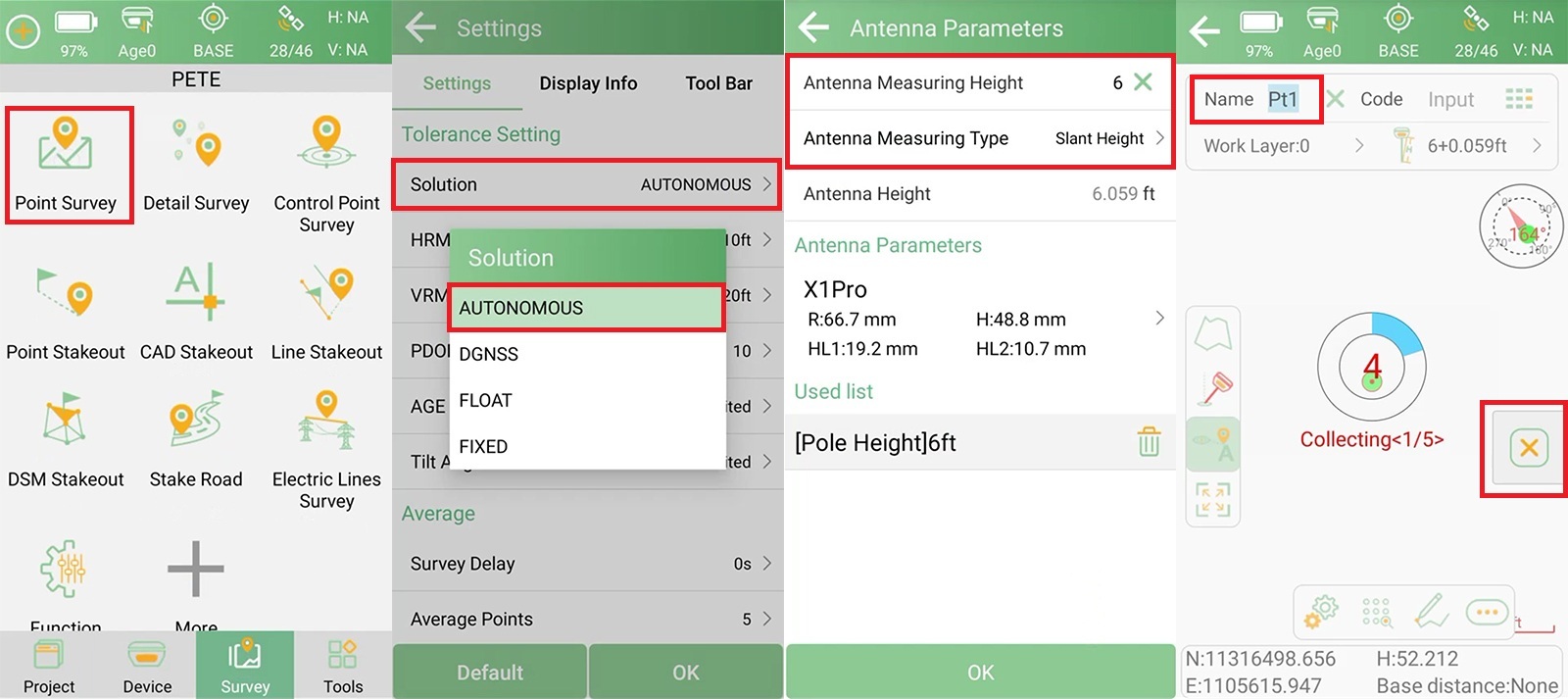
Tip: Always use the same point and same coordinates when re-start RTK base, to ensure consistency across sessions.
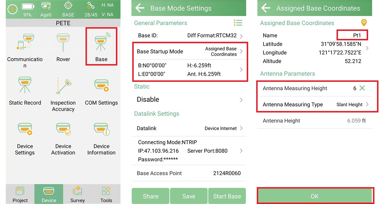
After starting the base, set up your RTK rover and make sure you get a FIX solution. Then follow these steps to calculate the target point coordinates in SingularPad:
Go to Tools >> Coordinate Positive Calculation.
Select the known base point as Point A.
Set the Azimuth Reference Direction (typically "Bearing-NE", depending on your map style).
Enter the azimuth (Line L) and distance (Angle α) values provided in the map.
Click Calculate to generate coordinates.
Click Save to store the calculated point in the point database.
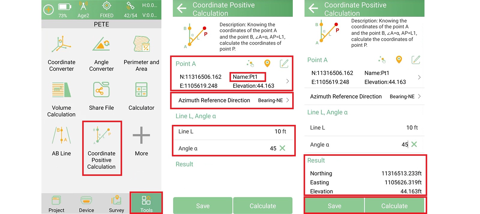
This method transforms relative position data into usable coordinates for stakeout.
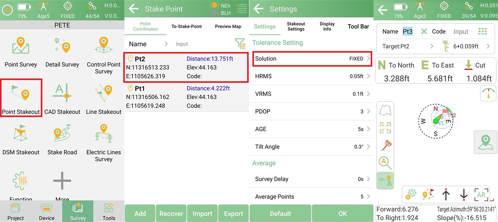
Now that the target point has coordinates, proceed to stake it out in the field.
Navigate to Survey >> Point Stakeout.
Select the saved point from the list.
Ensure the Solution Tolerance is switched back to FIXED.
Follow the on-screen prompts to find the target point.
Once the first point is located and marked, you can use it as the new reference point for the next stakeout.
Repeat the same azimuth & distance calculation process:
Use the most recently staked-out point as the new Point A.
Enter the next azimuth and distance values from the map.
Calculate, save, and stake out.
This method allows you to reconstruct an entire map from relative data, even when no absolute coordinates are provided.
Azimuth and distance-based maps are still widely used in older records and specific regions. With the right tools and workflow, you can accurately calculate and stake out each point in sequence — starting from a single reference.
By combining SingularPad's coordinate tools with consistent base setup and FIX solutions, you can handle legacy survey data with modern RTK equipment efficiently and precisely.

