


 Home
Home

Geospatial
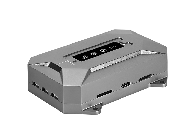
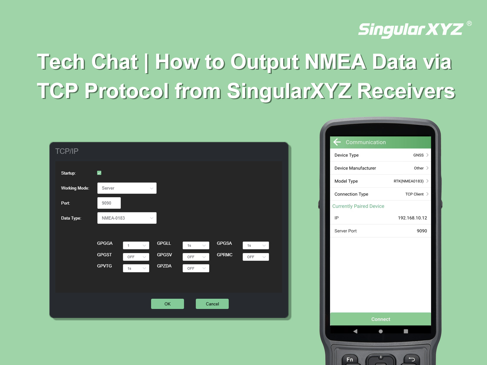
Tech Chat | How to Output NMEA Data via TCP Protocol from SingularXYZ Receivers
This blog explains how to output NMEA data through a TCP connection, using the X1 GNSS Receiver and SingularPad as an example. The same workflow can also be applied when connecting with other software or systems that support TCP communication.
learn more