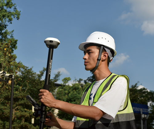
 Home
Home

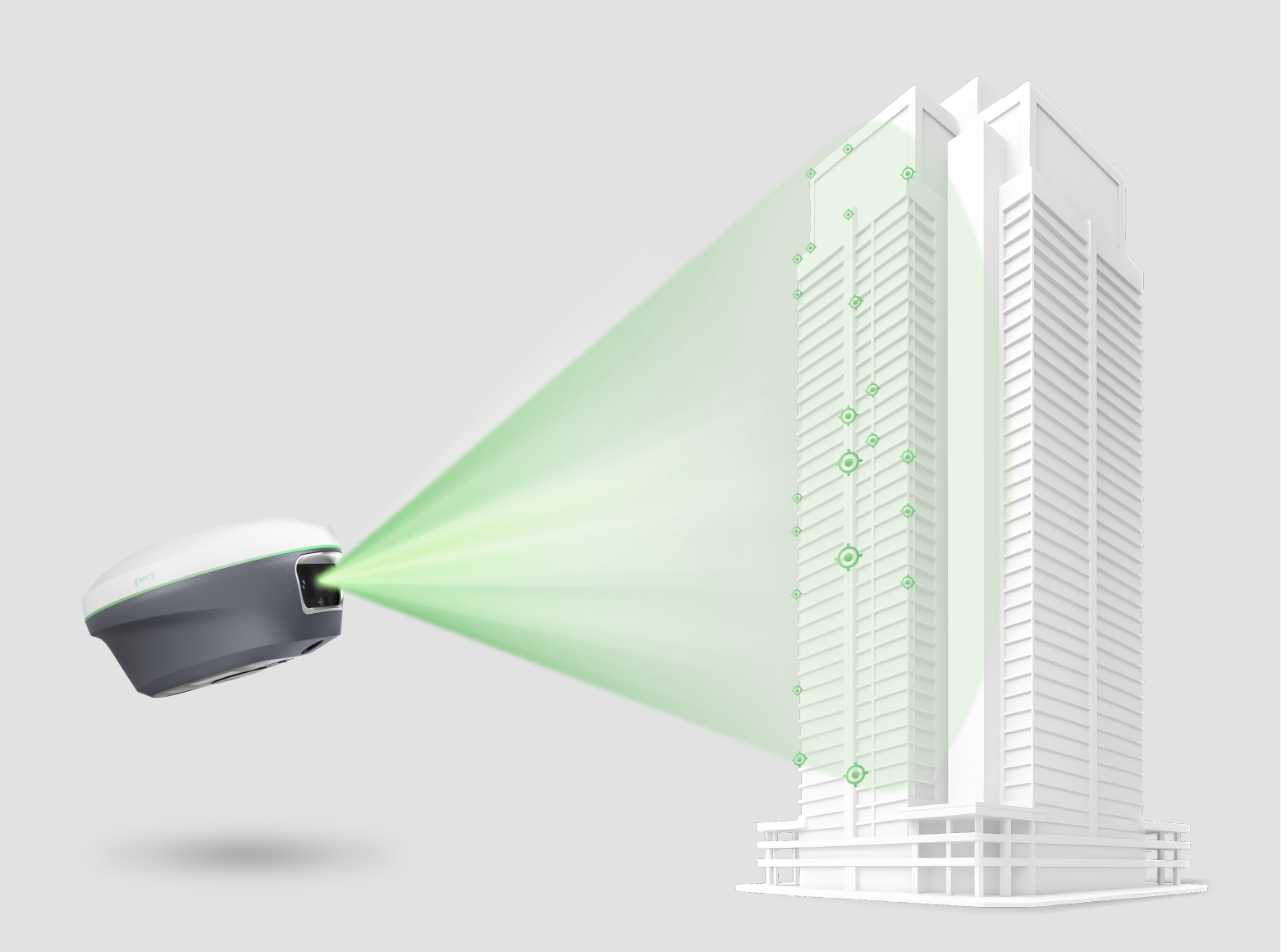
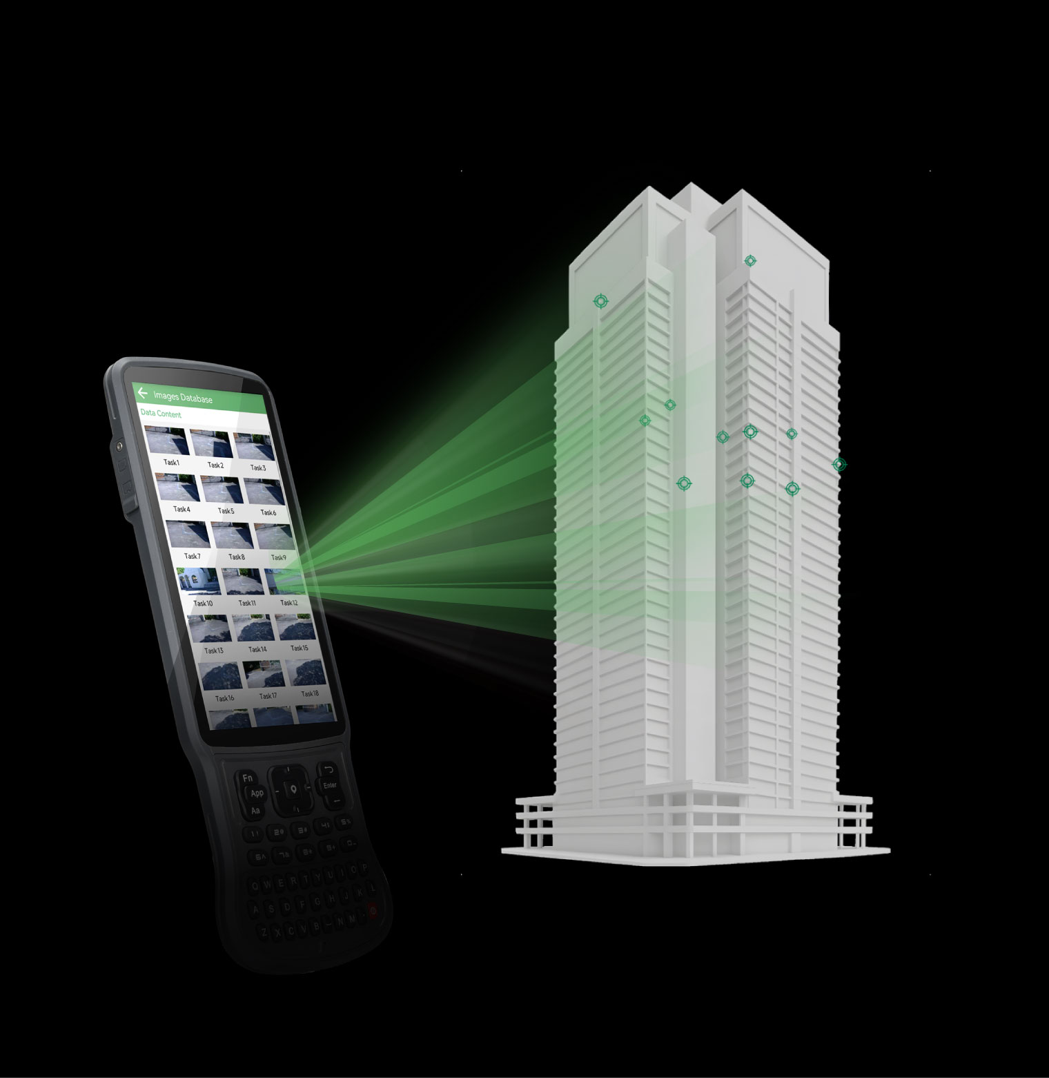
Precise Visual Surveying
Powered by an HD starlight camera and advanced visual algorithms, Horus enables visual surveying through capture, tap, and measure. Users can obtain centimeter-level photogrammetry results quickly and intuitively, without complex post-processing.
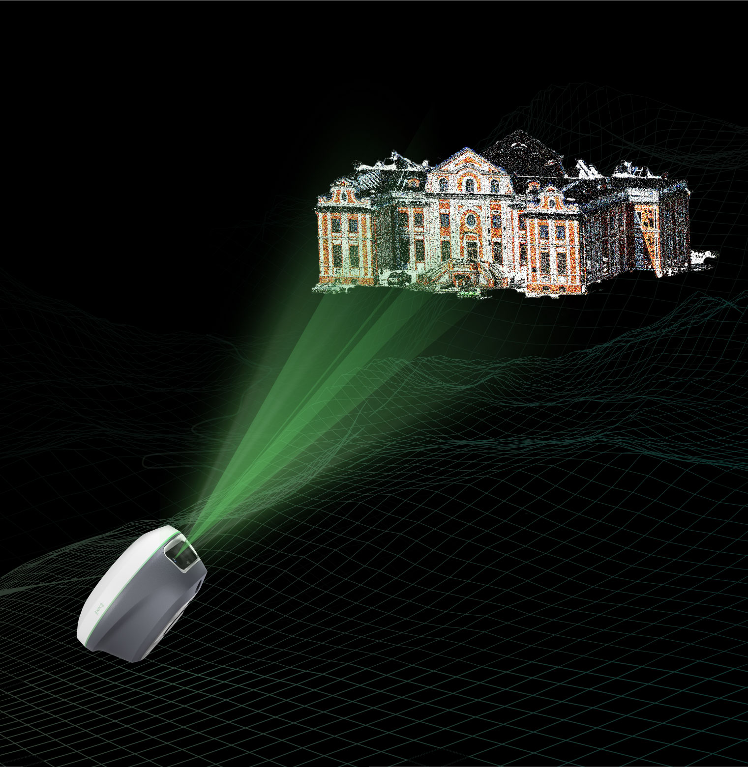
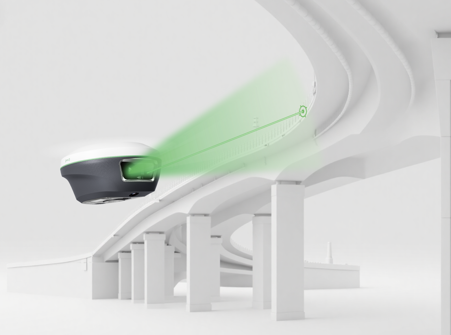
Camera-Assisted Laser Surveying
Combined laser surveying with back camera, the Horus provides clear visual-assisted targeting for clear and precise aiming of non-contact laser surveying, extending the surveying range up to 50m range.
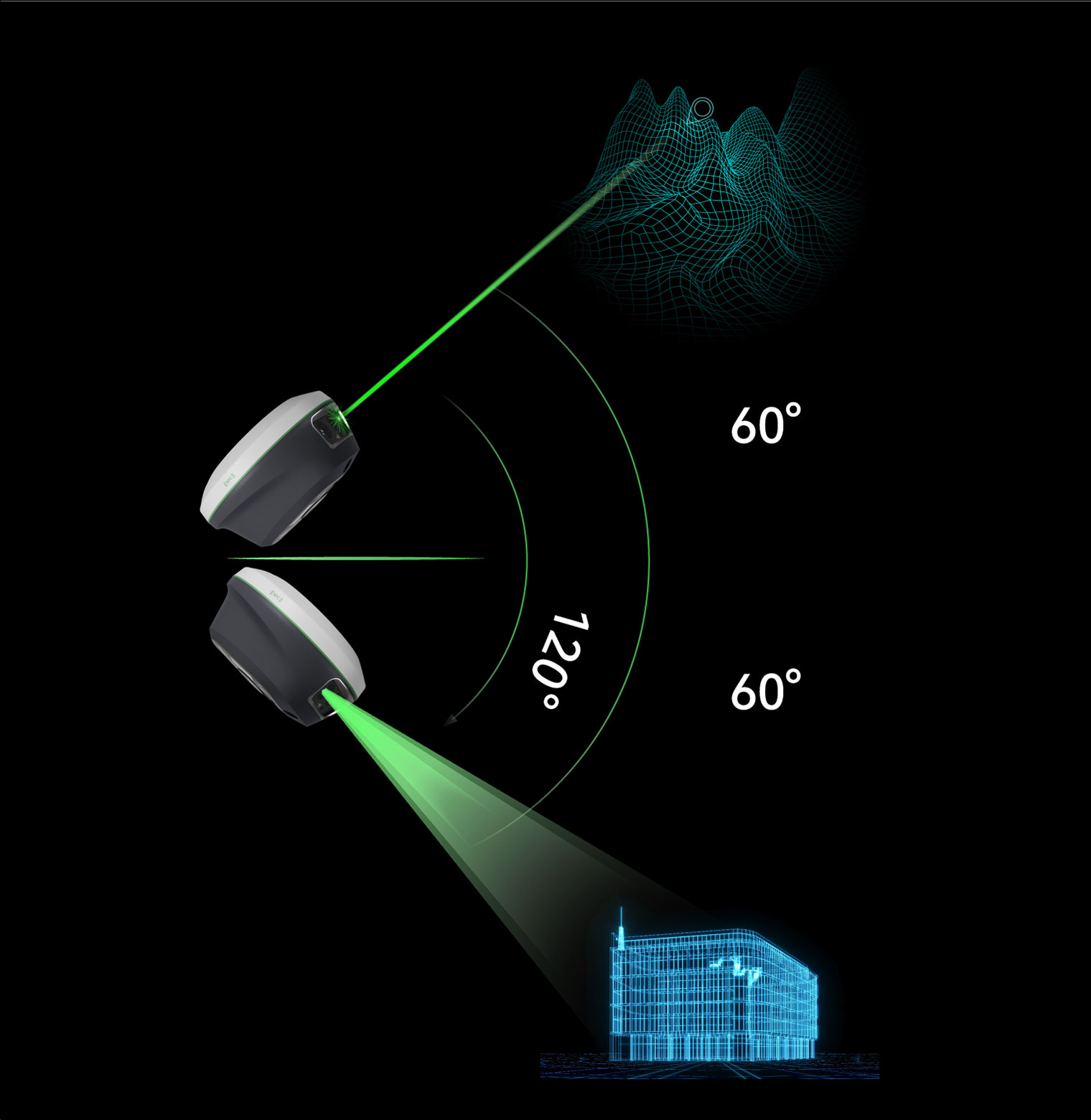
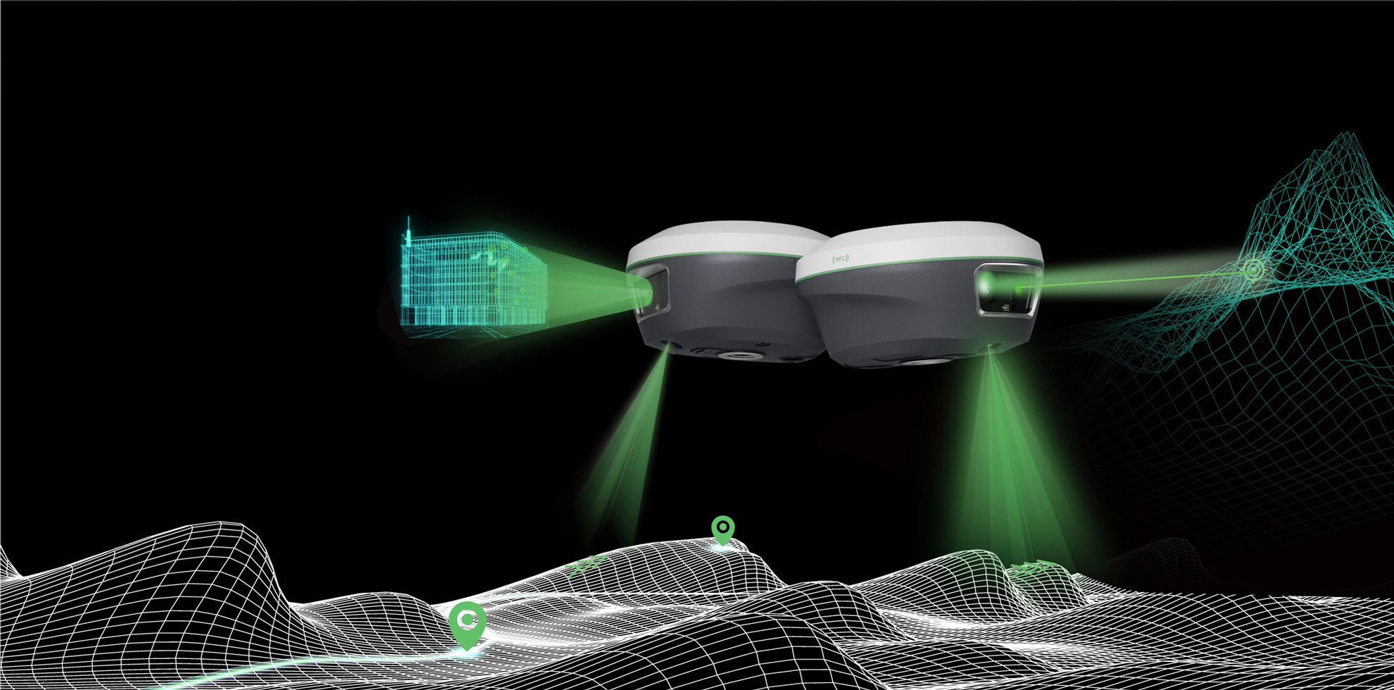
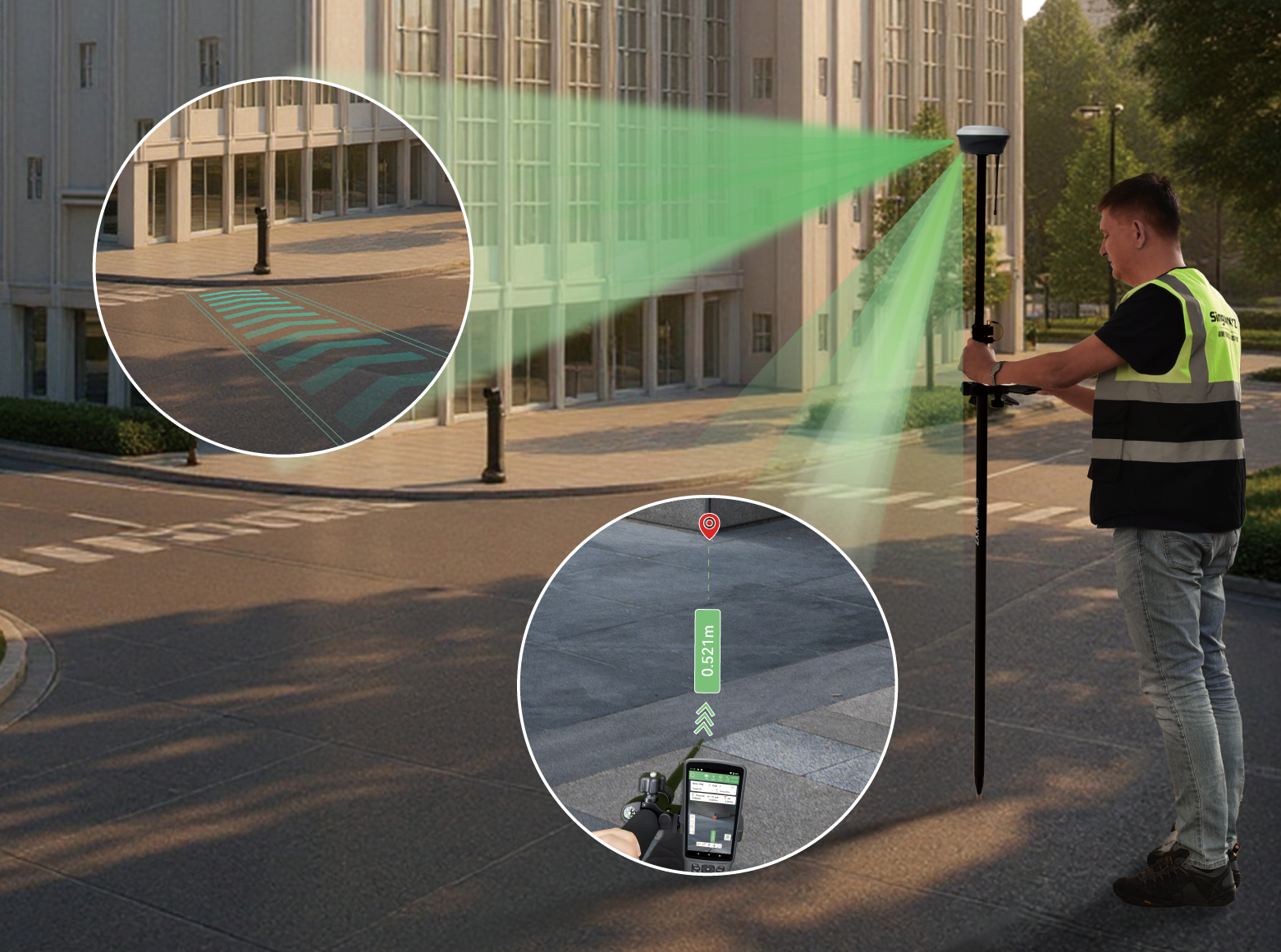
Dual-Camera AR Stakeout
With dual-camera integration, Horus enhances AR stakeout through auto distance-based switching — the back camera for long-range points and the bottom camera for close-range guidance, ensuring the most intuitive and accurate view for every stakeout.


Visual Surveying


Laser Surveying


AR Stakeout