


 Home
Home

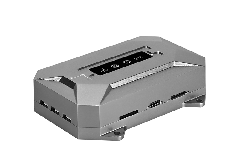
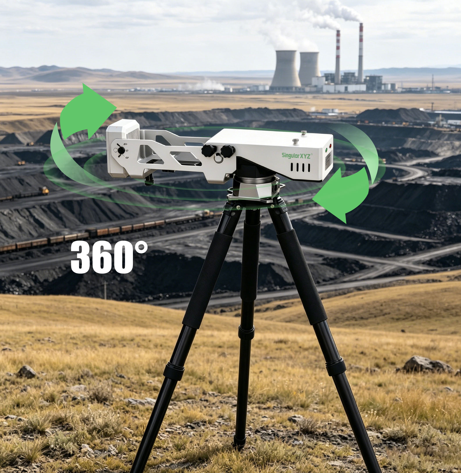
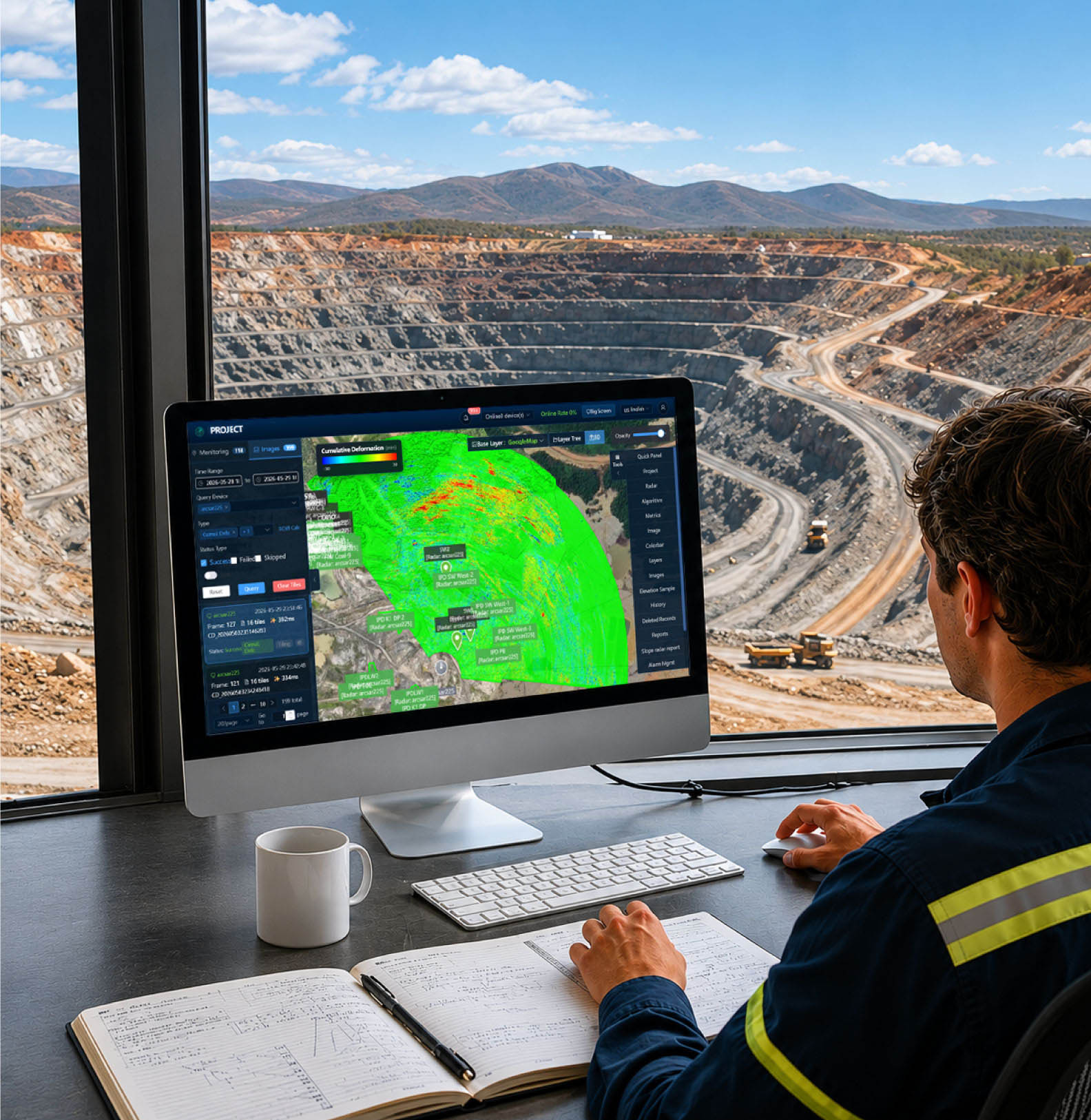
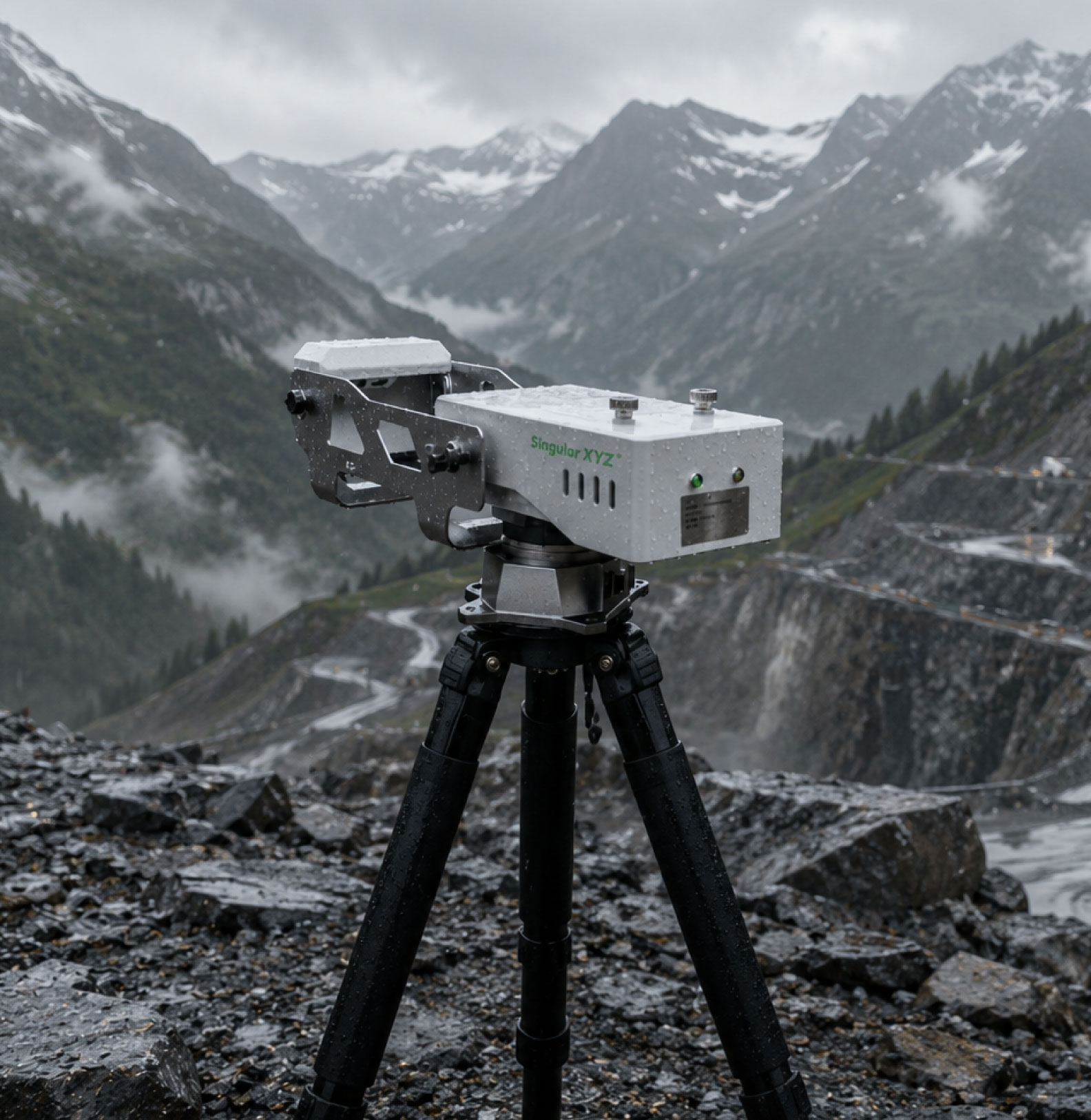
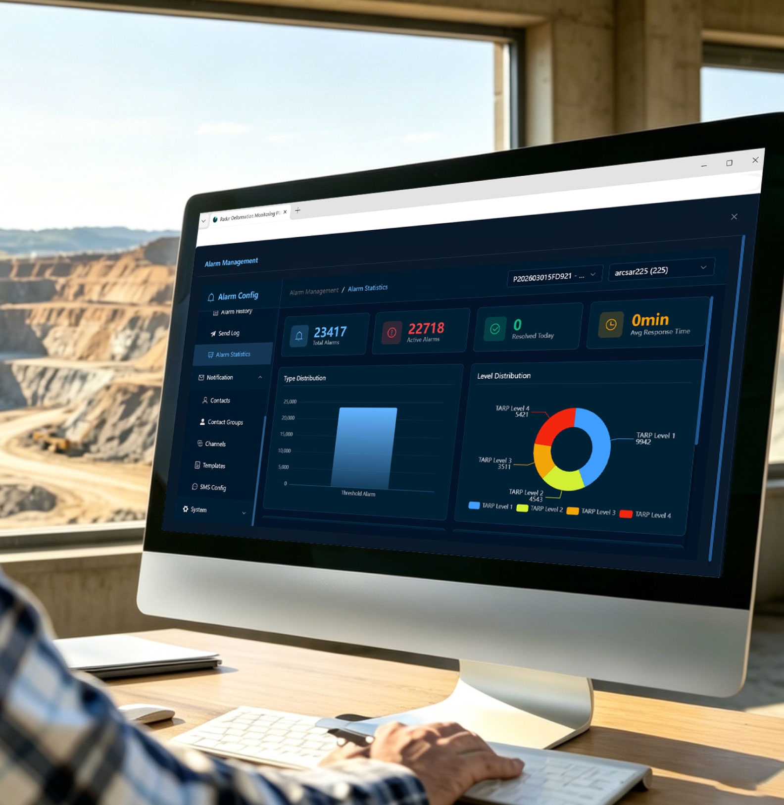
MR5000 Monitoring Radar
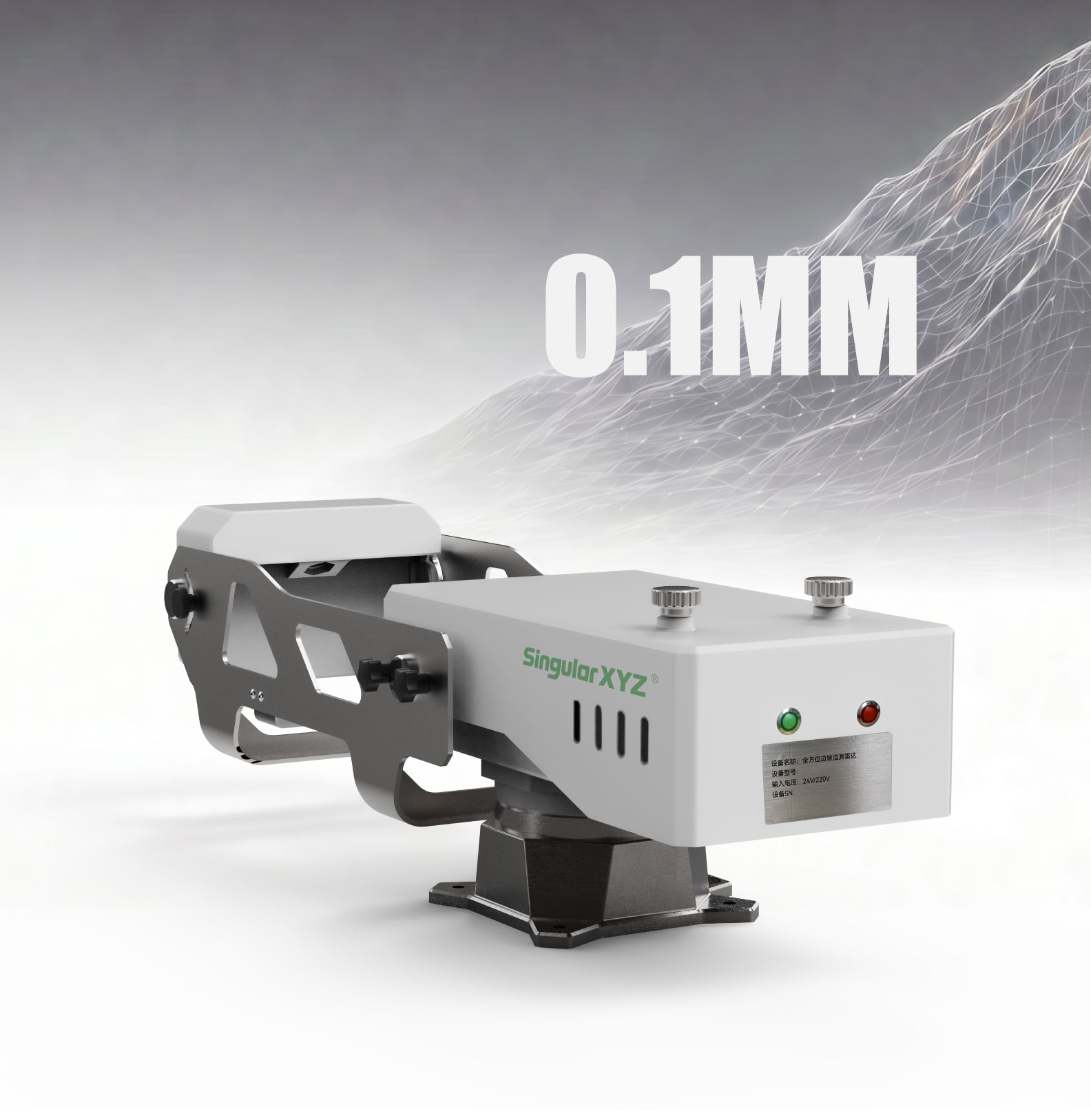
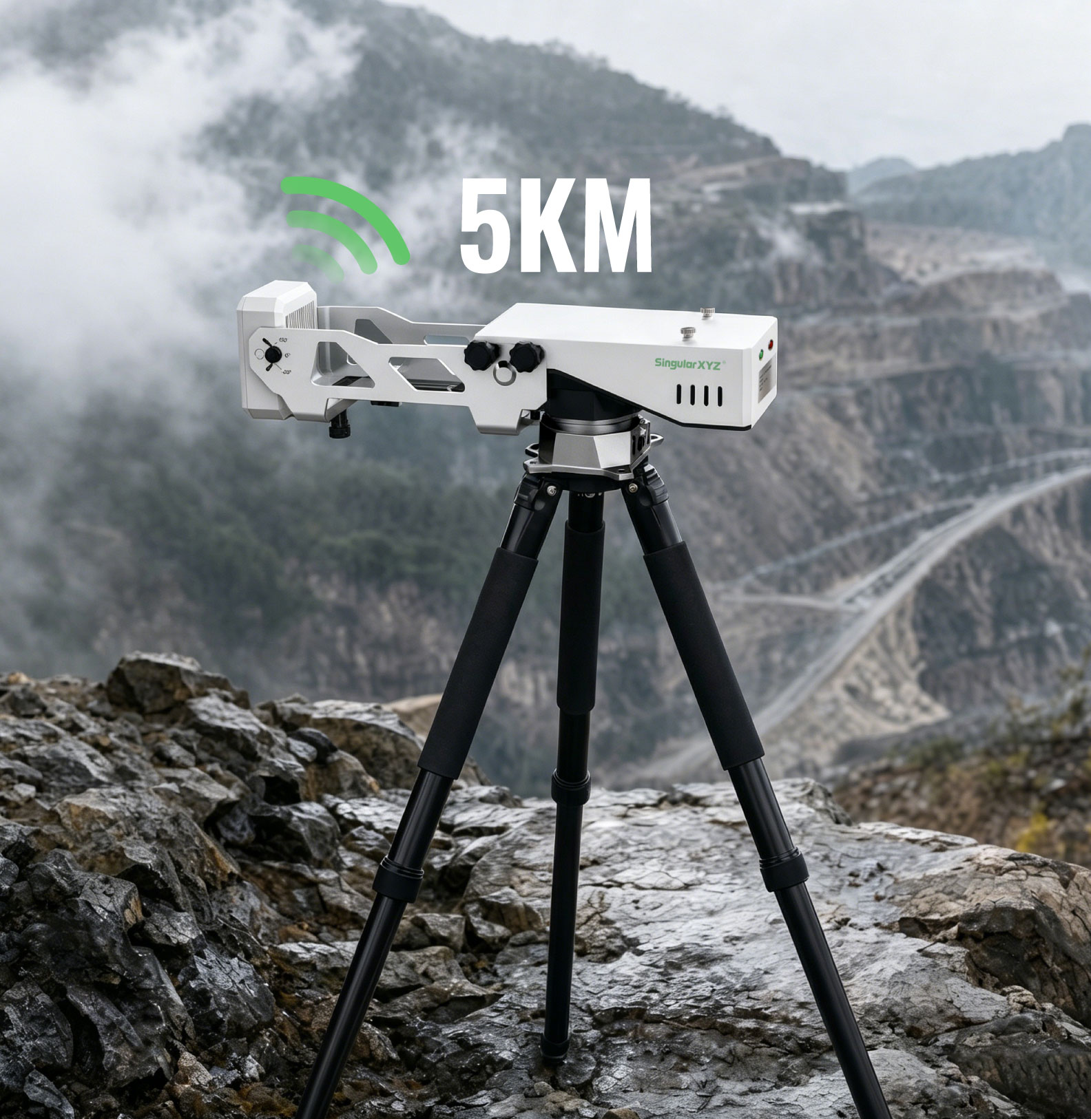
360° Slope Stability Monitoring, Down to the Millimeter


Visit the Download Center to get product user manuals, and explore the Video Center for easy-to-follow tutorial videos.

Have a specific question? Our Support Team is here to help you with technical issues, product setup, and more.

Be part of our Facebook Group to connect with us and fellow users, share your experiences, and exchange tips and tricks.


