


 Home
Home

Geospatial
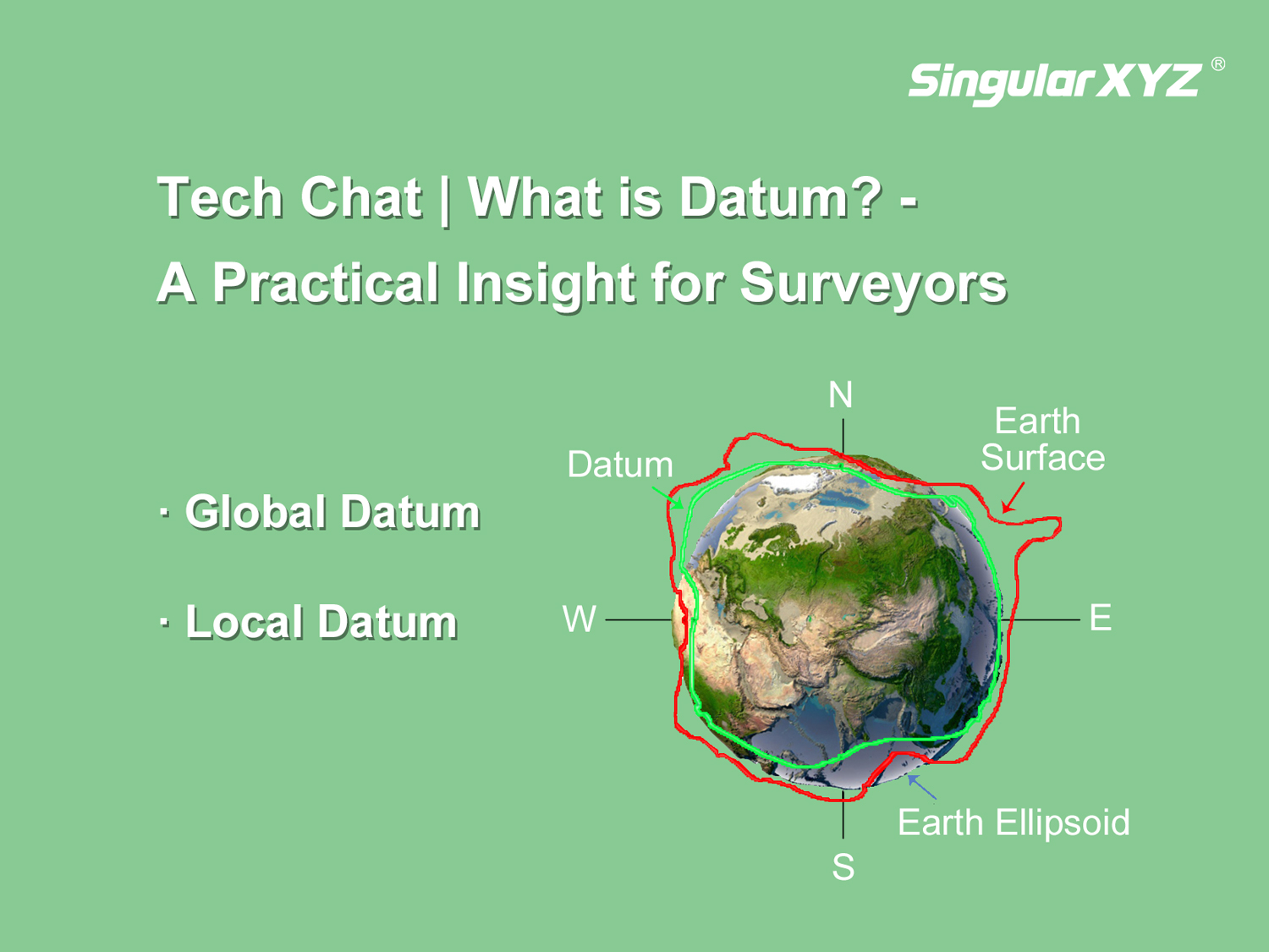
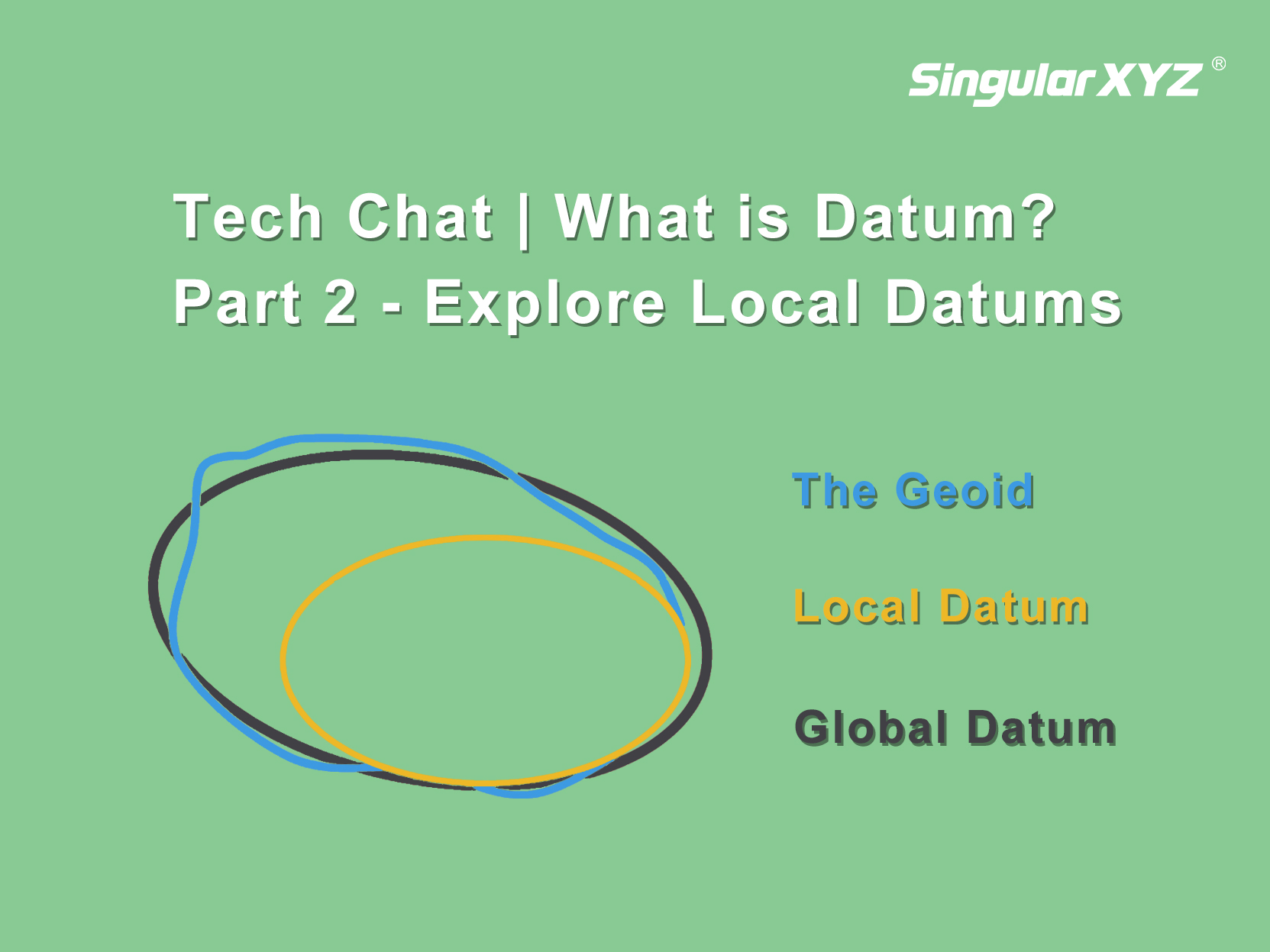
Tech Chat | What is Datum? – Part 2 Explore Local Datums
Building upon the insights shared in our previous blog, where we explored the importance of global datums and the challenges they present, our attention now turns to a solution that effectively addresses them—the local datum.
learn more