







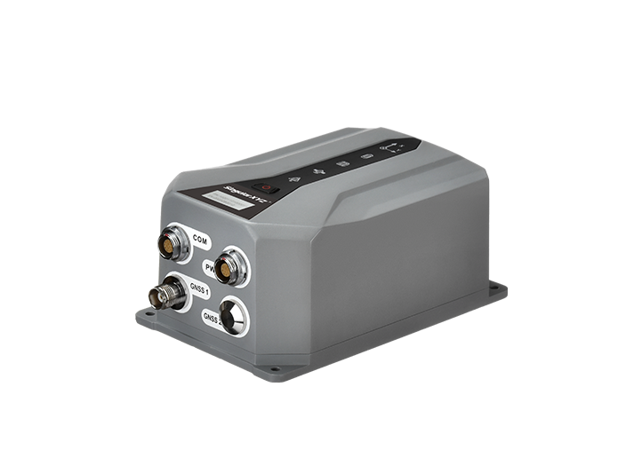
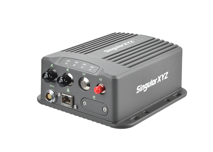
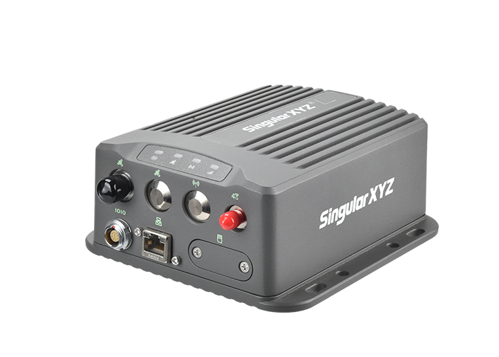
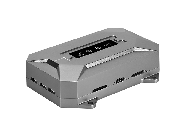
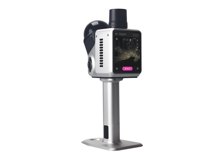
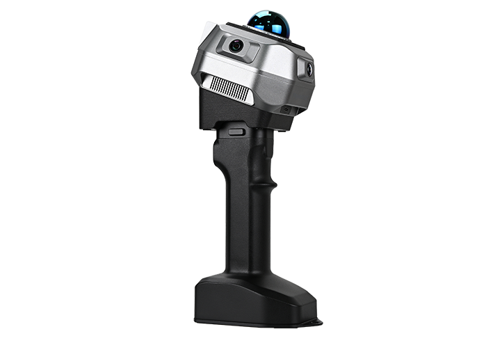
























































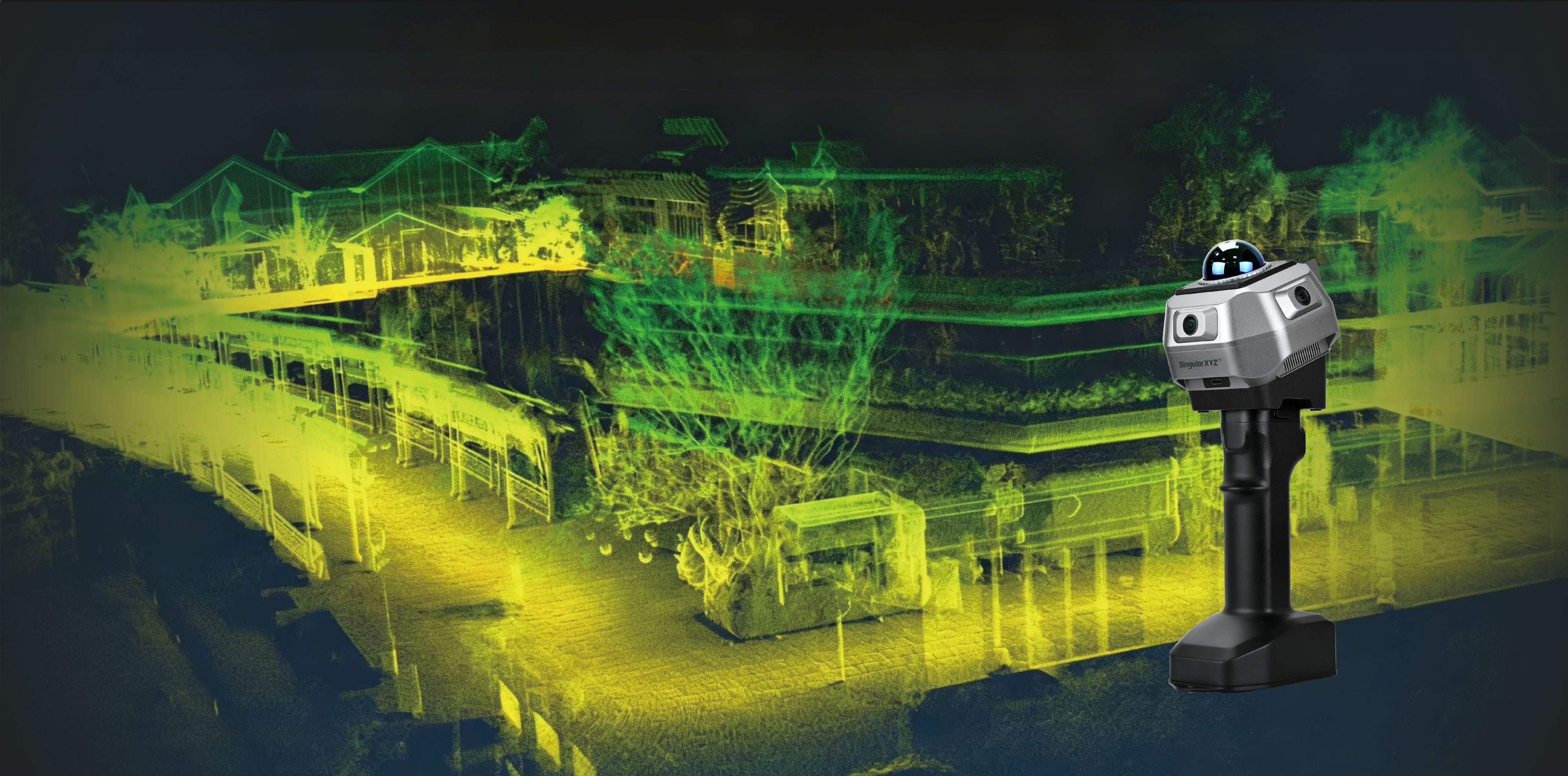
H2 Handheld 3D Laser Scanner
From Vivid Color to Precise Coordinates
Become a Dealer
Triple Camera For Vivid Colorization
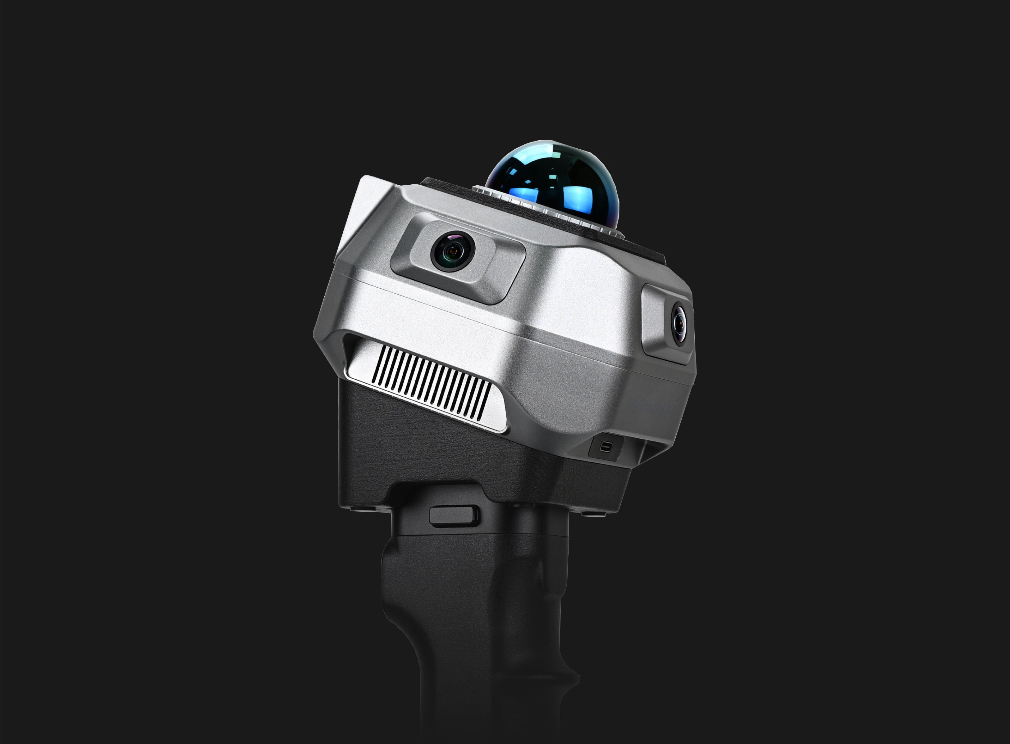
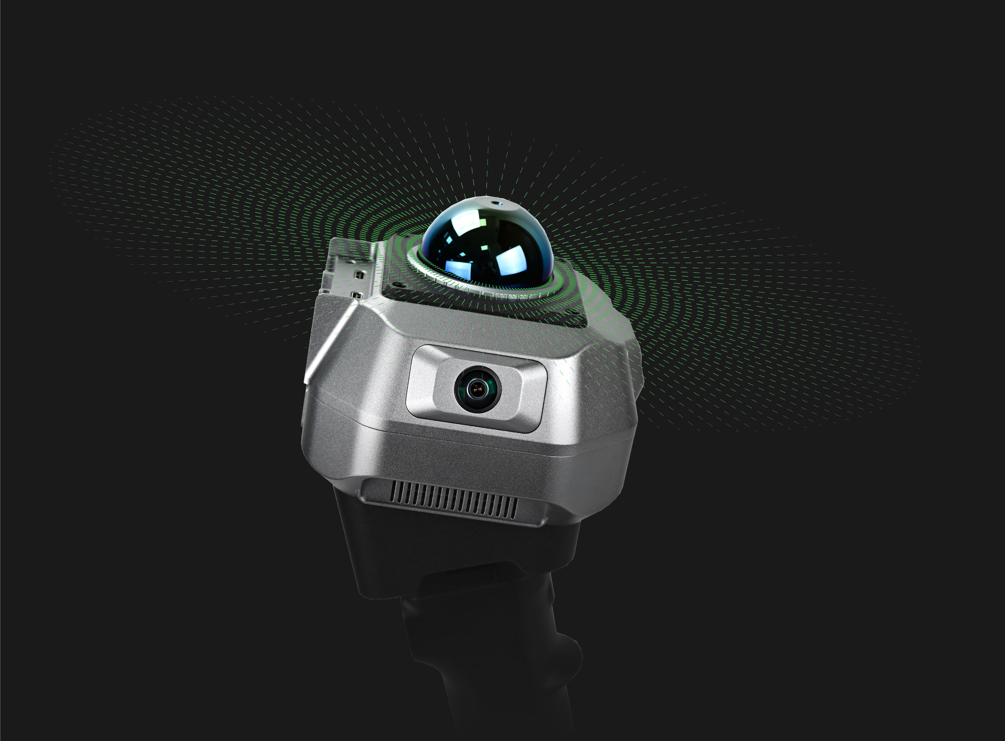
Equipped with triple global-shutter fisheye cameras, the H2 captures high-quality image data with rich textures and natural colors. Advanced colorization algorithms accurately fuse image data with point clouds, delivering realistic colorized point clouds with fine details.
Modular Design for Flexible Deployment
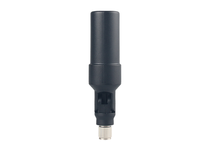
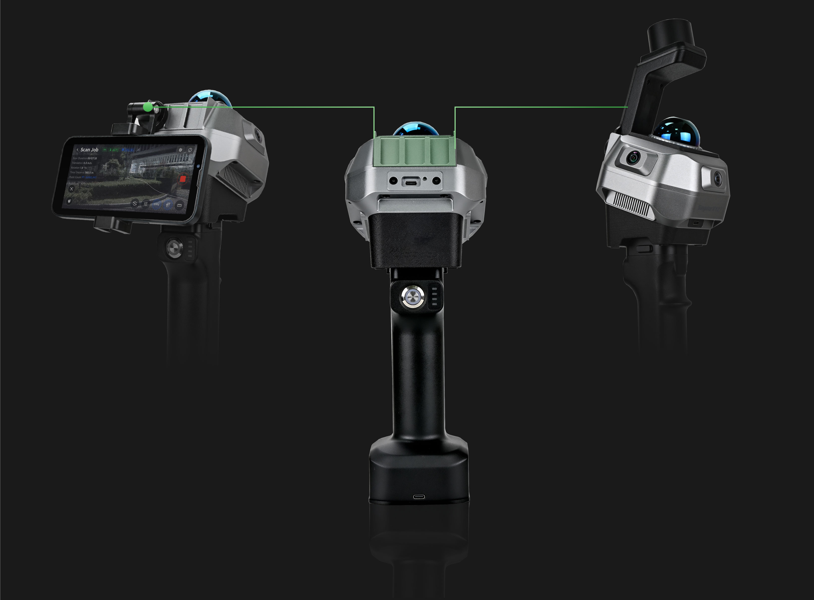
The H2 adopts a modular design that supports flexible configurations with external accessories such as smartphone brackets and optional RTK modules. This scalable architecture enables easier upgrades and adapts to different application requirements.
Precise & Dense LiDAR System
The H2 delivers dense and detailed point clouds with its 40-line LiDAR array, supporting up to 200,000 points per second scanning speed and 1 cm accuracy at 10 m. It captures precise spatial details for reliable 3D reconstruction across various environments.

Vivid Colorization
Modular Design
LiDAR System
Triple Camera For Vivid Colorization
Equipped with triple global-shutter fisheye cameras, the H2 captures high-quality image data with rich textures and natural colors. Advanced colorization algorithms accurately fuse image data with point clouds, delivering realistic colorized point clouds with fine details.
Modular Design for Flexible Deployment
The H2 adopts a modular design that supports flexible configurations with external accessories such as smartphone brackets and optional RTK modules. This scalable architecture enables easier upgrades and adapts to different application requirements.
Precise & Dense LiDAR System
The H2 delivers dense and detailed point clouds with its 40-line LiDAR array, supporting up to 200,000 points per second scanning speed and 1 cm accuracy at 10 m. It captures precise spatial details for reliable 3D reconstruction across various environments.

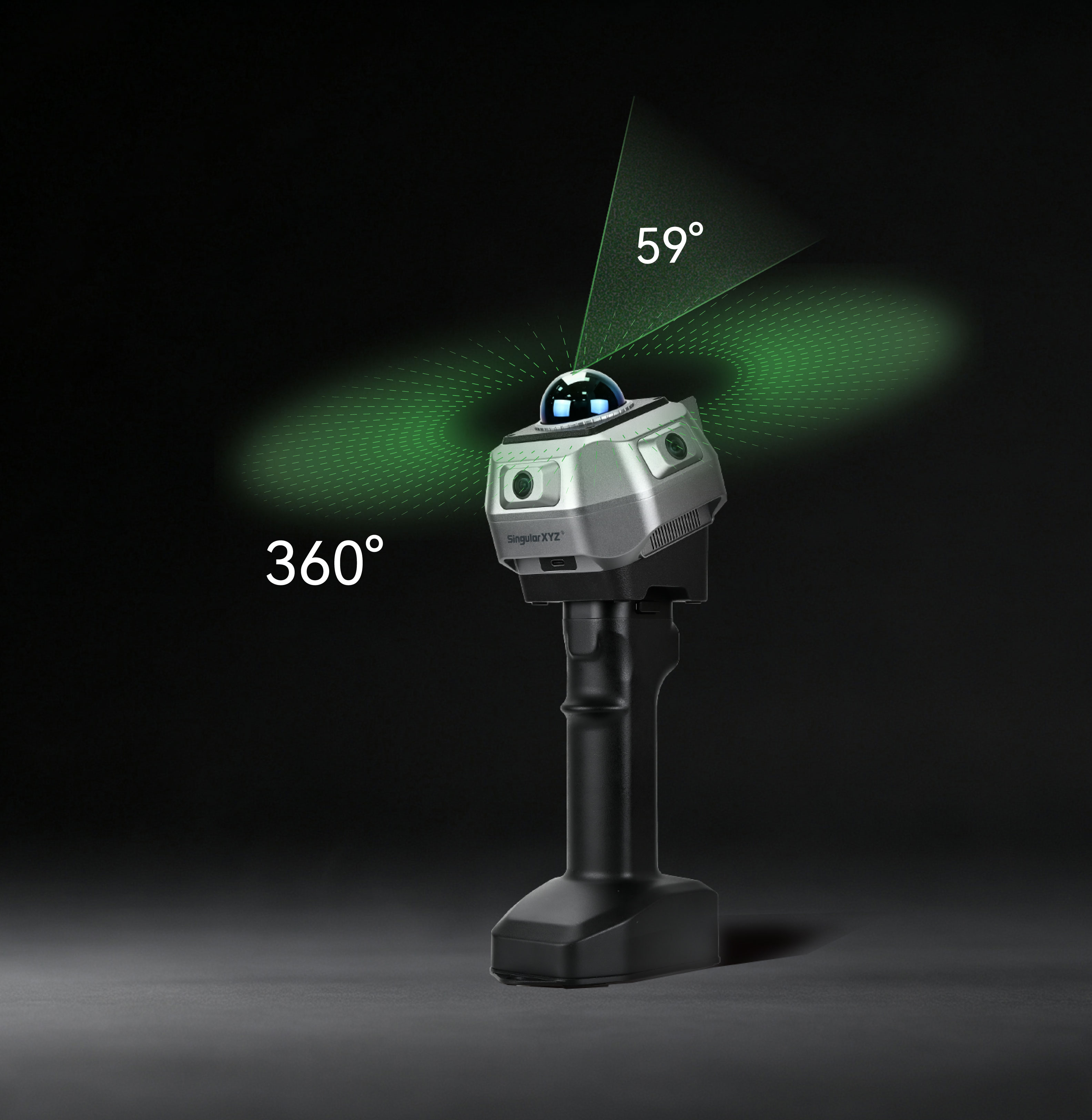
Ultra-Wide 360° × 63.5° FOV
Featuring a full 360° horizontal field of view and 59° vertical coverage, the H2 captures complete environmental details with minimized blind spots. It enables efficient scanning of interiors, facades, industrial facilities, and other complex spaces.
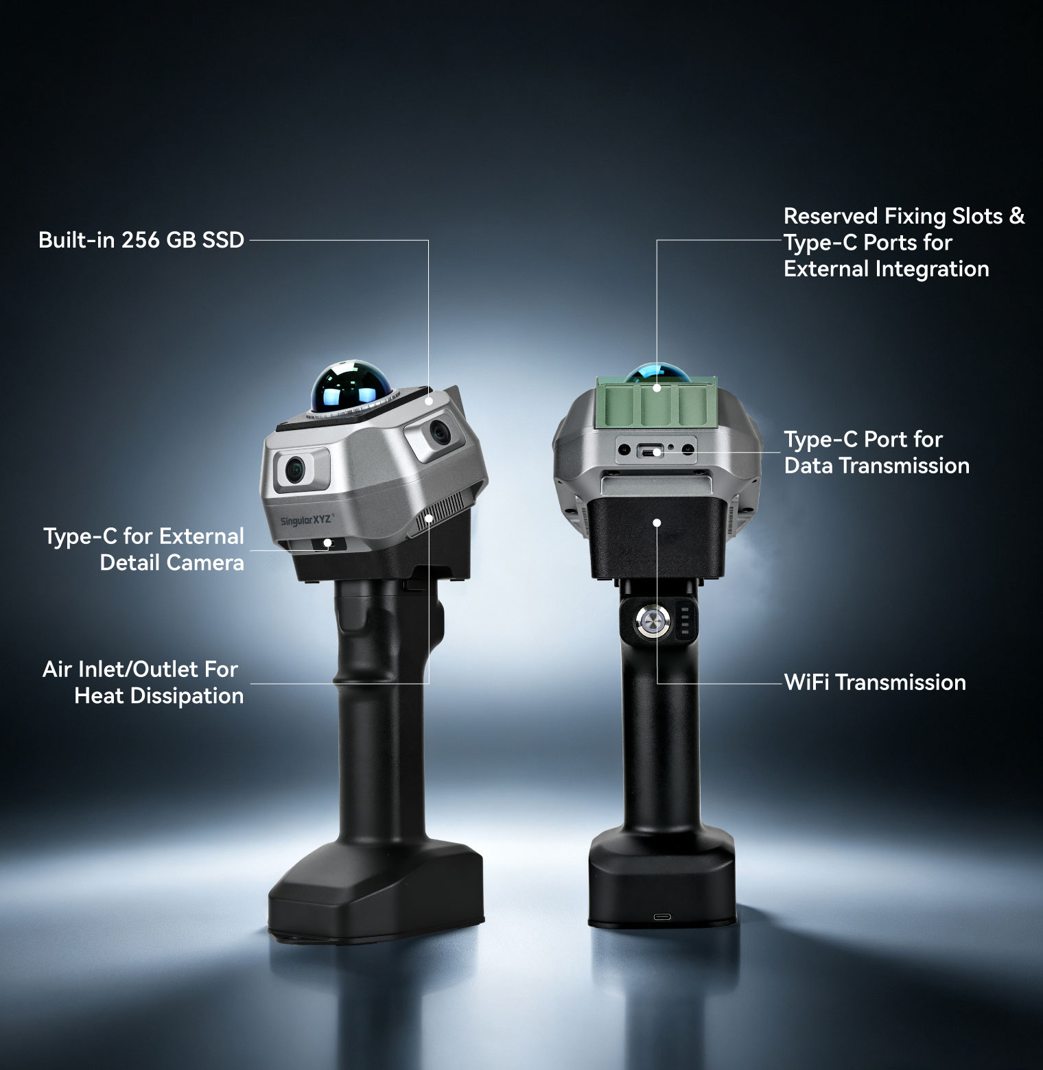
Flexible Transmission & External Integration
Designed for versatile field workflows, the H2 integrates multiple interfaces, including Type-C ports, WiFi transmission, external device connections, and 256 GB SSD storage. These features provide efficient data transfer and flexible integration with various accessories.
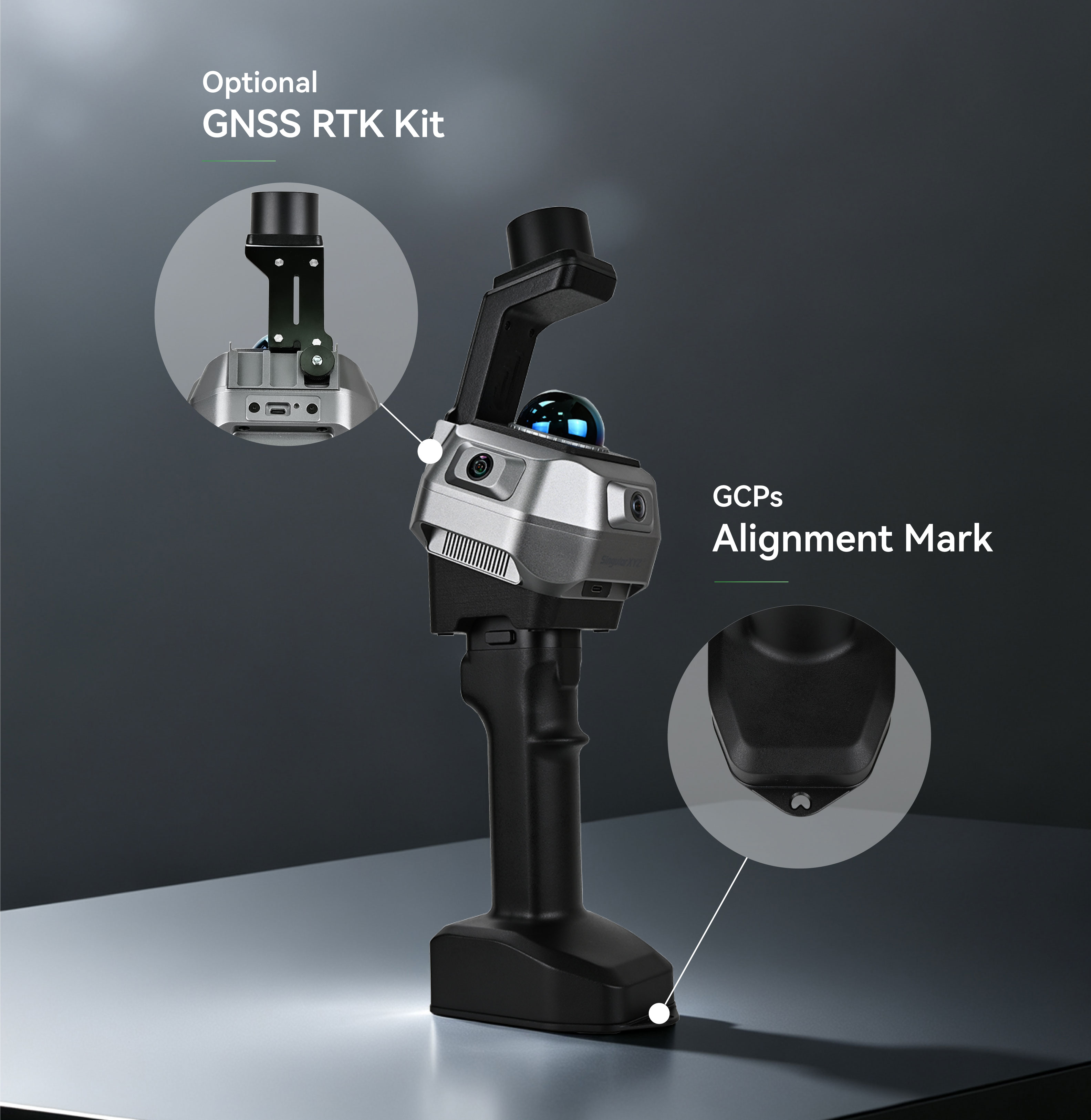
Real-World Accuracy Alignment
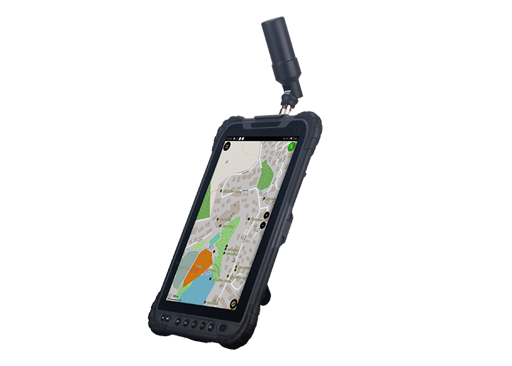
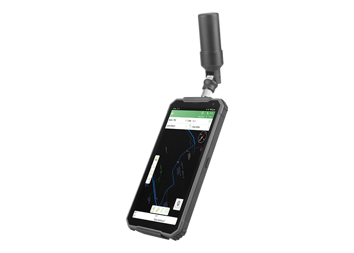
Beyond relative accuracy, the H2 provides flexible solutions for real-world coordinate alignment. With an optional RTK module or control point optimization workflow, users can accurately register point clouds into project coordinate systems for reliable georeferenced results.
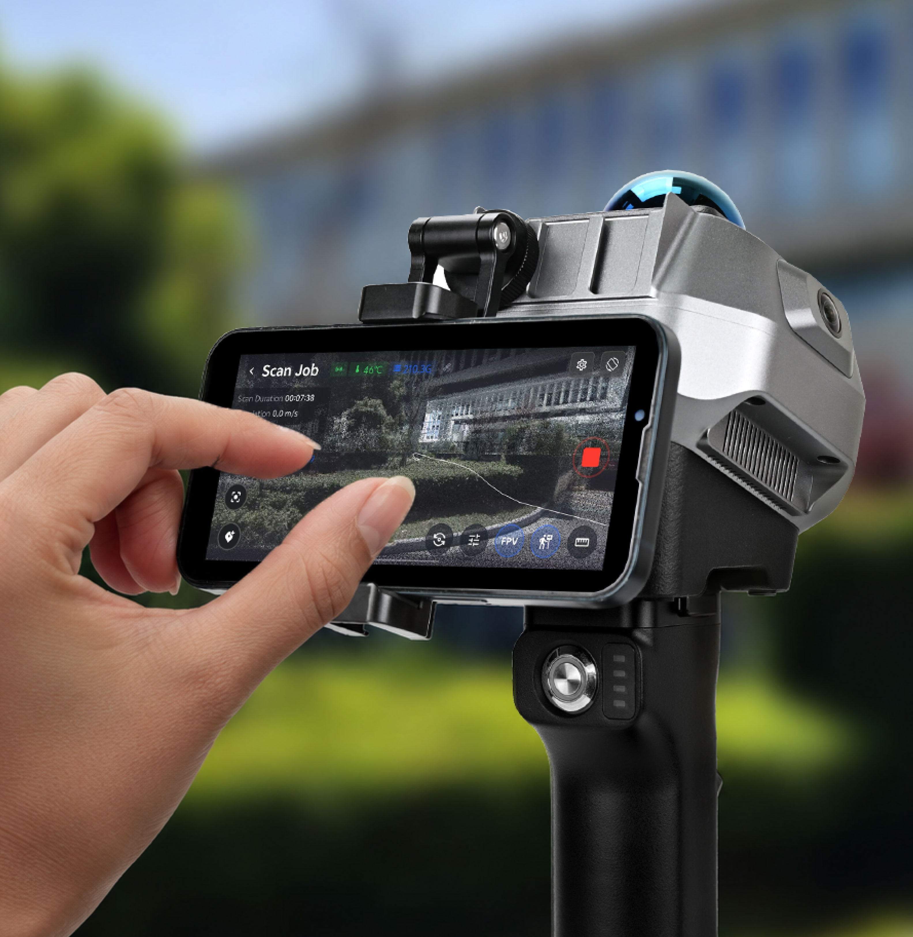
Smartphone Bracket with Real-time Viewing
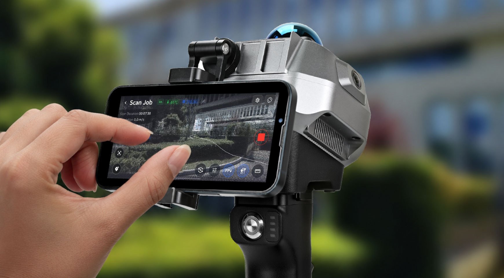
The attachable smartphone bracket enables convenient one-handed operation and real-time scanning visualization. Through WiFi transmission to iOS and Android devices, users can monitor point clouds and device status directly in the field.
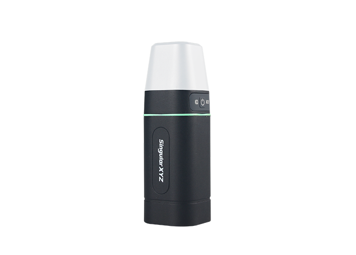
Long-Lasting 4000 mAh Battery
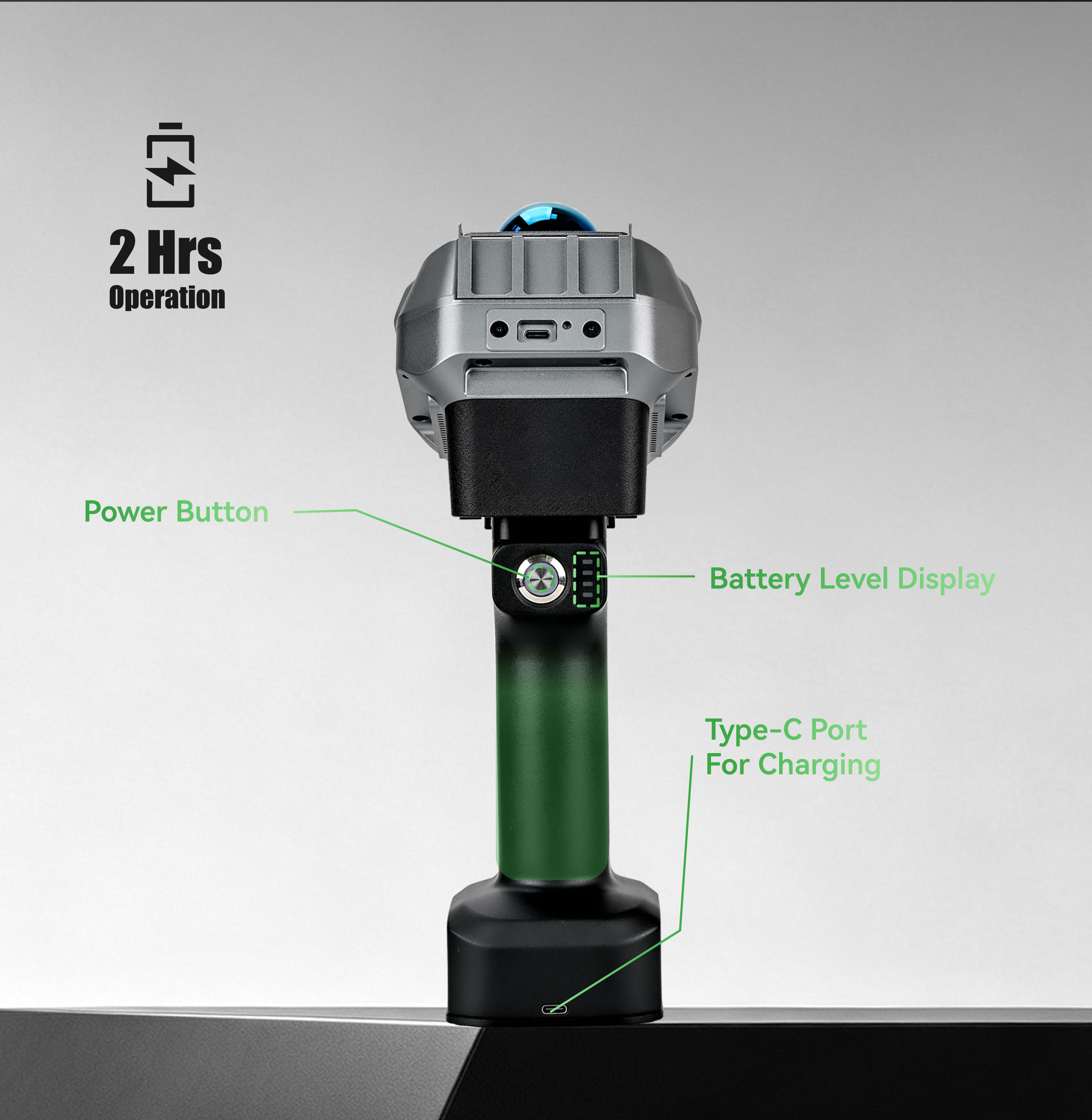
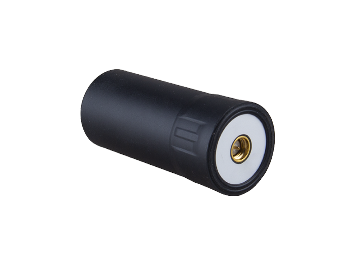
Powered by a 4000 mAh battery, the H2 supports up to 2 hours of continuous operation for efficient field scanning. The integrated power button, battery level display, and Type-C charging port provide convenient power management during daily workflows.
Field-Ready in a Compact Build
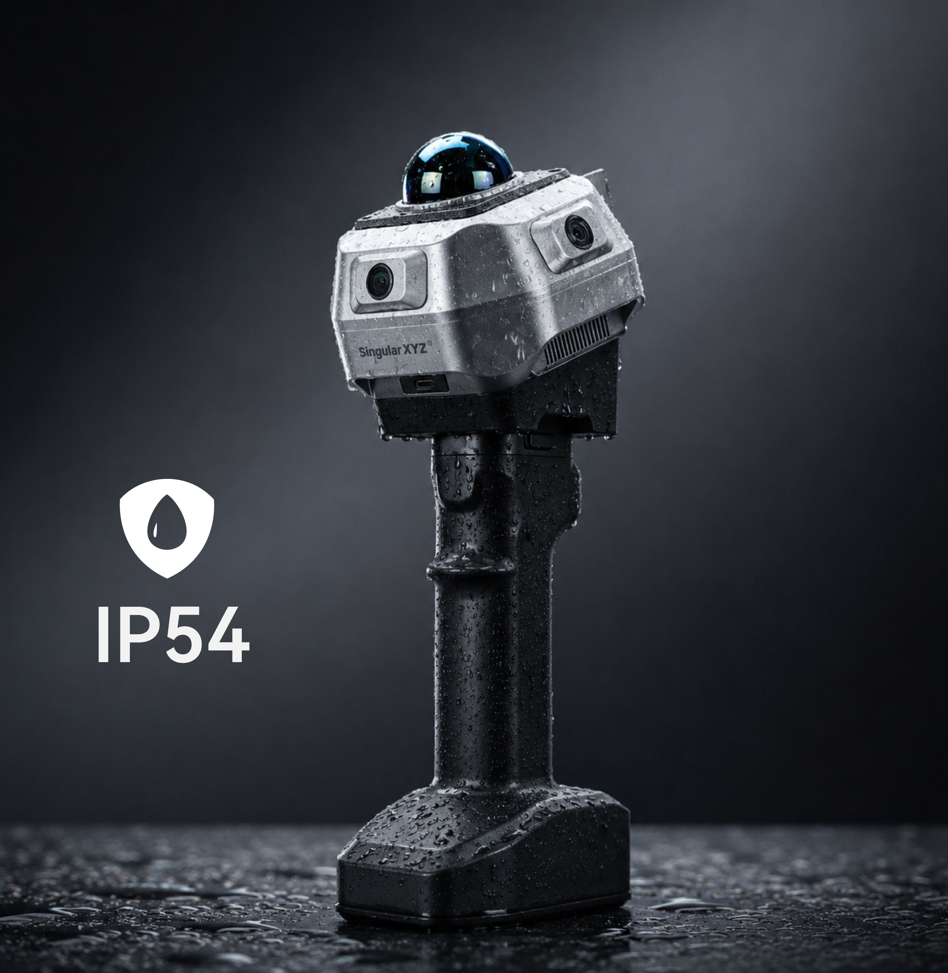
Built with an IP54-rated metal body, the H2 delivers reliable durability for demanding field environments. Weighing only 740 g, its compact and lightweight design ensures comfortable operation and enhanced portability across various scanning applications.
Software & Platform
SingularCloud Post-Processing Software
SingularCloud Go Field Point Cloud Viewer
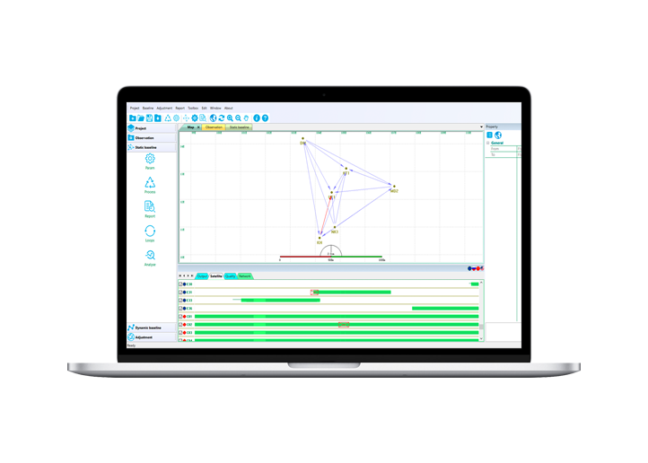
SingularCloud Post-Processing Software
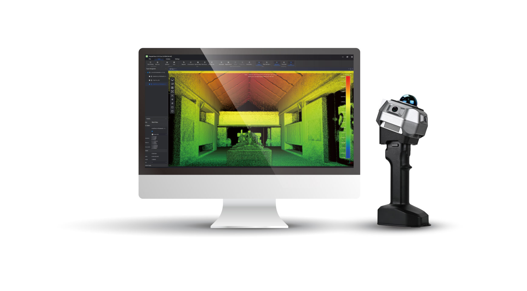
The software optimizes point cloud quality through denoising, filtering, and RTK/GCP registration. It supports colorized point cloud, mesh, and CAD outputs, with built-in tools for measurement, volume calculation, etc.
SingularCloud Go Field Point Cloud Viewer
The mobile app enables real-time point cloud viewing on Android and iOS devices. Users can switch between RGB, Intensity, and Elevation modes to verify scan quality and completeness directly in the field.
Industries & Applications
Construction Mapping
Infrastructure Capture
Heritage Digitization
Specifications
Resources
LASER SYSTEM
Laser product classification
Class 1 Eye Safe
Accuracy
1cm@10m
Scan radius
40-70m (measured at >10% or >80% reflectivity)
Max. effective measurement rate
200,000 points/sec
FOV (horizontal)
360°
FOV (vertical)
59° (-7° to 52°)
Scanning channel
40-lines
CONNECTIVITY & EXPANSION
Interface
Type C-USB 3.0
Storage
Built-in SSD, 256 GB
Network
WiFi
GNSS RTK
Optional 1408-channel GNSS engine
Data Output Format (post-processing software)
PCD, LAS, E57, LAZ, PLY, OBJ, DXF (indoor floor plan)
IMAGING SYSTEM
Number of cameras
3 fisheye cameras
Camera type
Global shutter
Resolution
2 MP per camera
FOV (per camera)
- Horizontal: 127°
- Vertical: 101°
- Diagonal: 170°
PHYSICAL & ELECTRICAL
Size
115*113*120mm (without handle)
Weight
740g without handle
Battery Handle
- 4000mAh, support up to 2-hour continuous work
- Weight: 485g
Become A Dealer
Click to Contact
Get Help, Learn, Connect
Tutorials

Visit the Download Center to get product user manuals, and explore the Video Center for easy-to-follow tutorial videos.

Blogs & FAQs

Check out our Blog for in-depth industry insights, practical tips, and usage guides.Need quick answers? Visit our FAQs to find solutions to common questions.

Online Support

Have a specific question? Our Support Team is here to help you with technical issues, product setup, and more.

Community

Be part of our Facebook Group to connect with us and fellow users, share your experiences, and exchange tips and tricks.

Related products
Contact