
 Home
Home


Geospatial
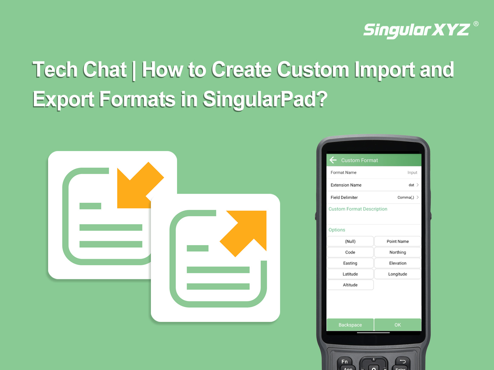
Tech Chat | How to Create Custom Import and Export Formats in SingularPad
In this blog, we will walk through how to create custom import and export formats in SingularPad.
Learn More