




































































 Home
Home

Horus Visual & Laser
GNSS Receiver
GNSS Receiver
learn more






 2026-08-12
 KALER Soluciones Geomáticas


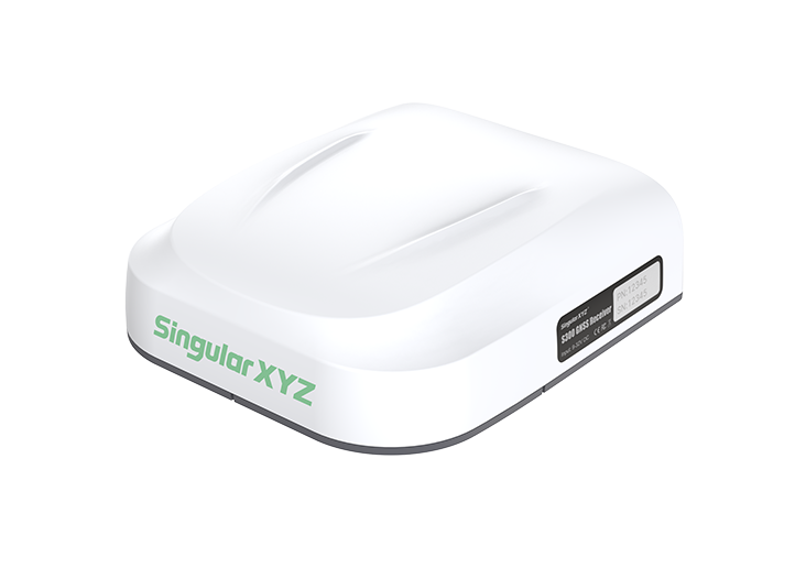
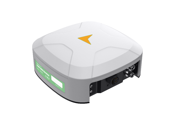
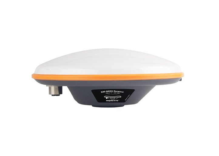
Horus Visual & Laser GNSS Receiver and Xbase GNSS Receiver provide a reliable RTK solution for high-precision surveying in demanding field environments. Horus combines GNSS positioning with visual and laser surveying capabilities, enabling efficient contact and non-contact measurement, while Xbase serves as a stable RTK base station with reliable correction transmission for precise positioning. Together, they provide an efficient and dependable workflow for high-precision data collection.
In this project, the Horus and Xbase RTK solution was deployed in Mazatlán, Mexico, to support a coastal hydrogeological assessment. The system was used to collect high-precision ground control points and critical elevation data for RPAS photogrammetry and hydraulic analysis, providing accurate geospatial information for evaluating coastal groundwater conditions and seawater intrusion risks.
1. Project Overview
Project Type: Hydrogeological Assessment
Location: Mazatlán, Mexico
Objective: To acquire accurate geospatial and elevation data for coastal hydrogeological assessment, enabling hydraulic modeling and groundwater analysis in coastal areas.
Status: Completed
2. Challenges
Complex Urban Environment: Urban environment with high-rise buildings affecting GNSS signal transmission.
Difficult Survey Areas: Coastal terrain with beaches and water bodies limiting accessibility for conventional contact surveying.
One-Day Field Requirement: Located approximately 200 km from the city of origin, the site required all necessary field data to be collected successfully during a single visit, minimizing the risk of rework or additional trips.
High-Precision Requirements: High-precision elevation data were essential for hydraulic modeling and elevation comparison.
3. Solution
3.1 Hardware:
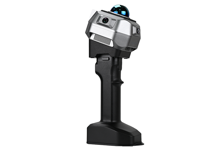
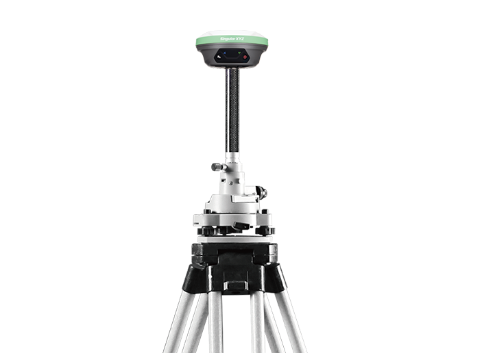
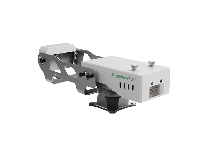
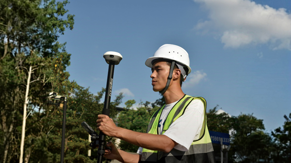
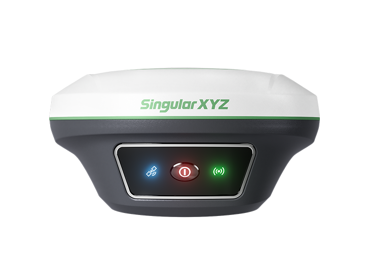
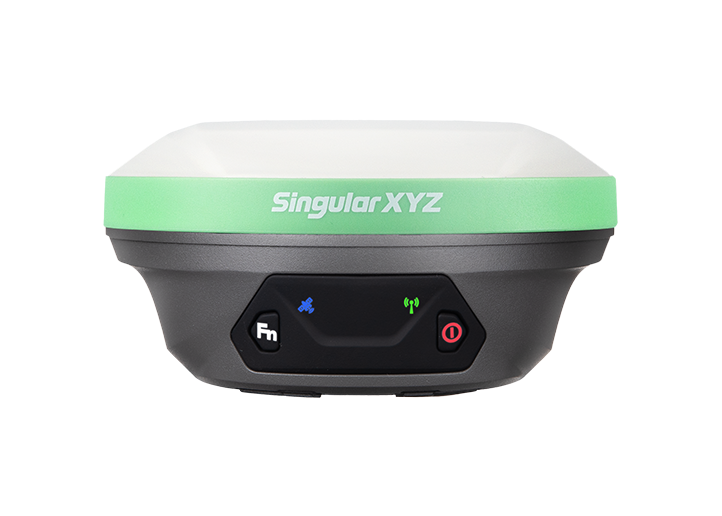
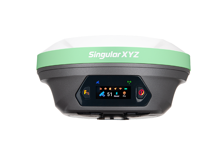
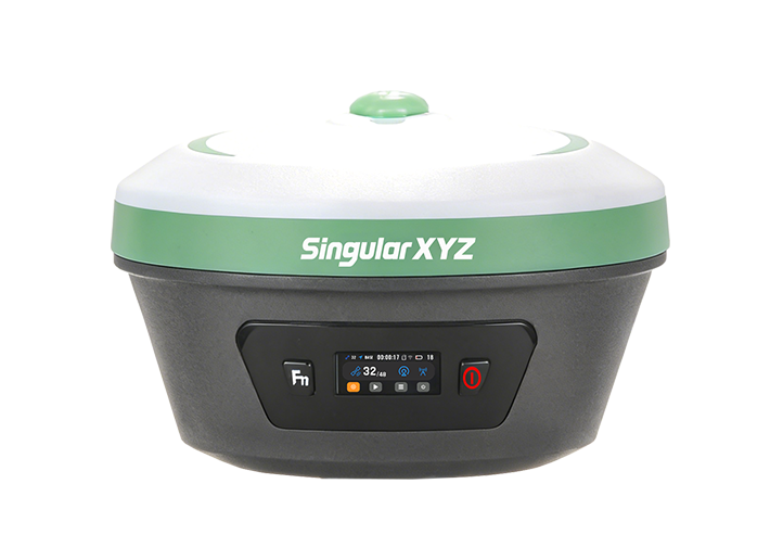
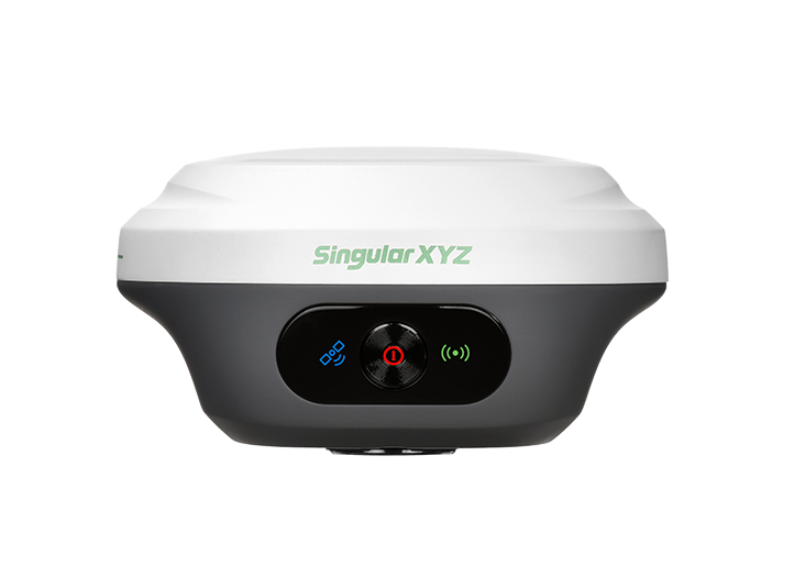
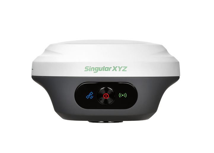
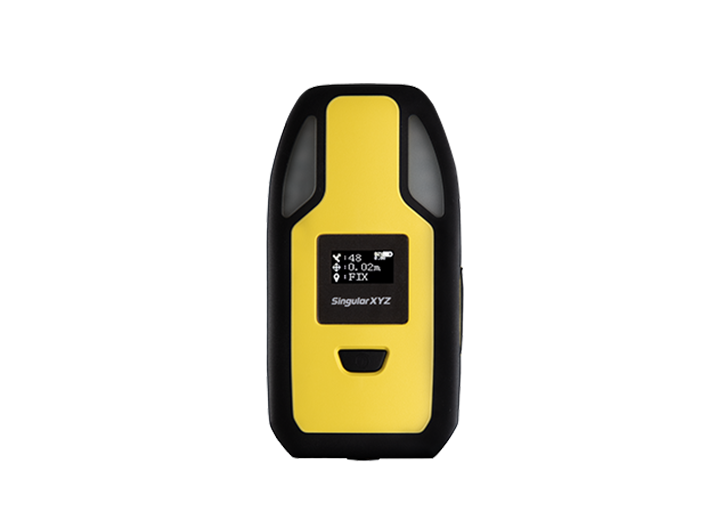
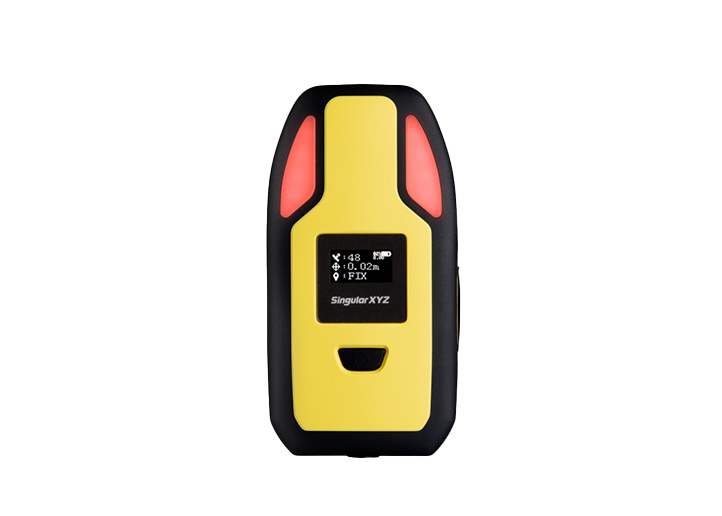
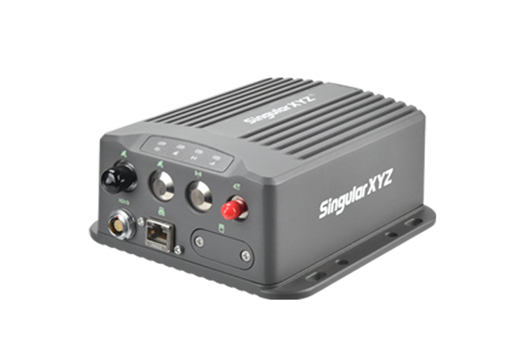
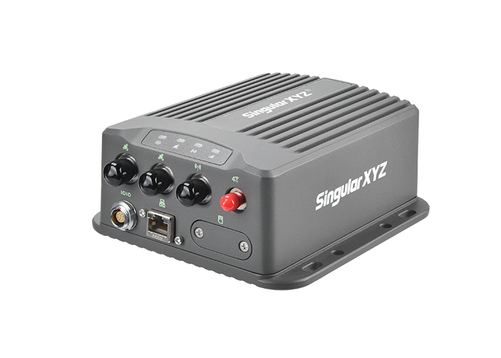
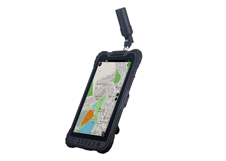
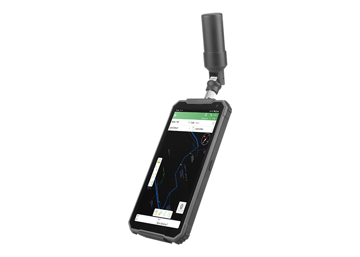
Horus Visual & Laser GNSS Receiver

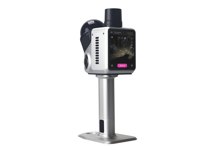
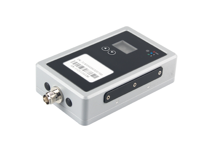
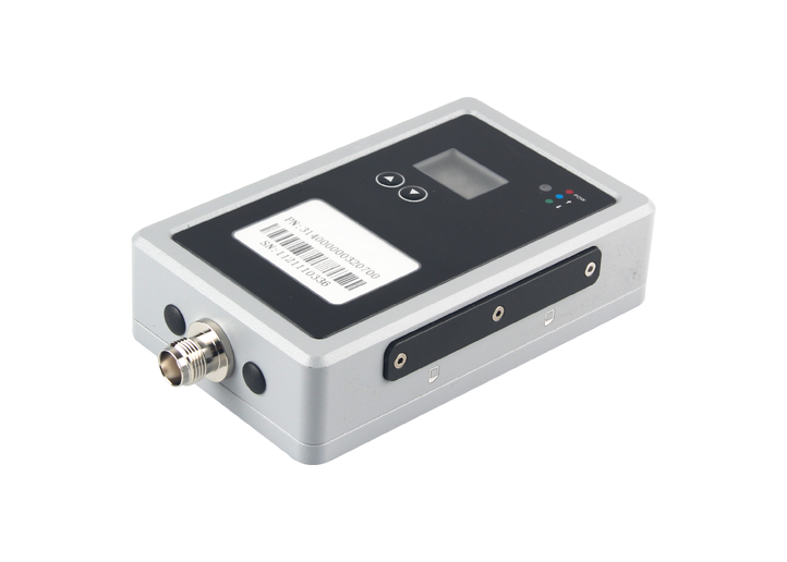
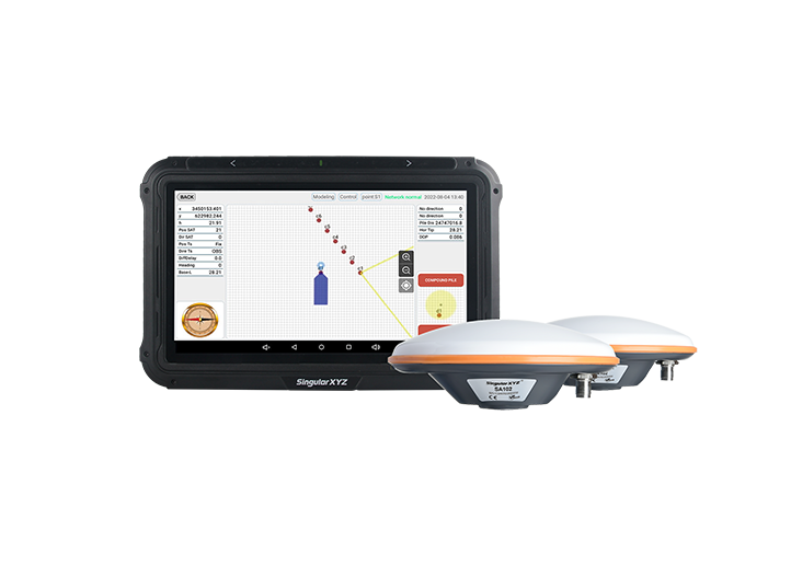
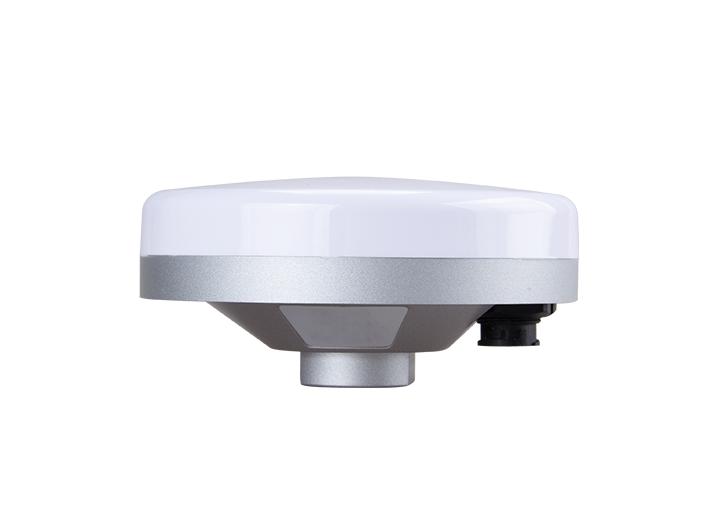
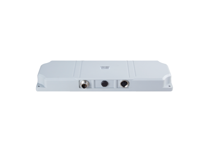
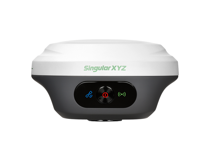
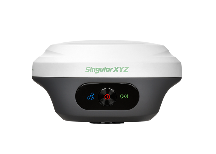
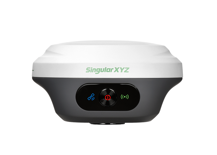
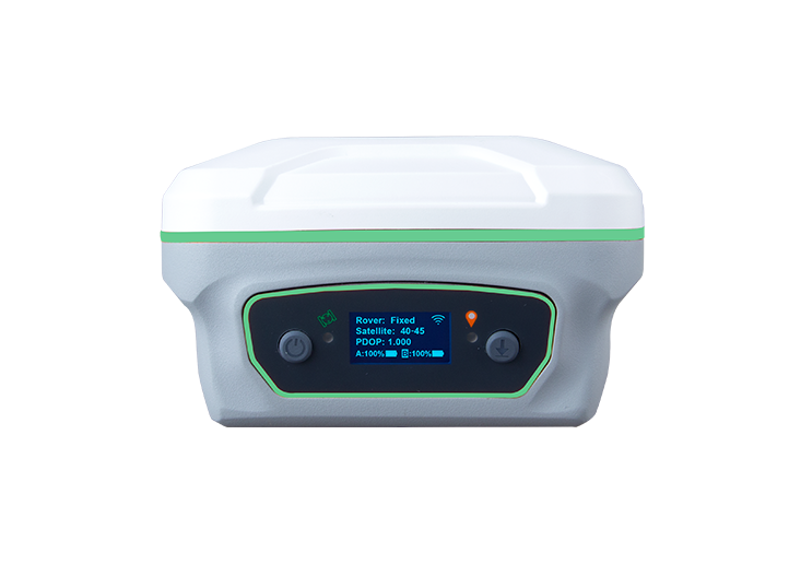
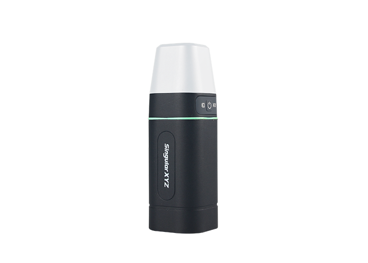
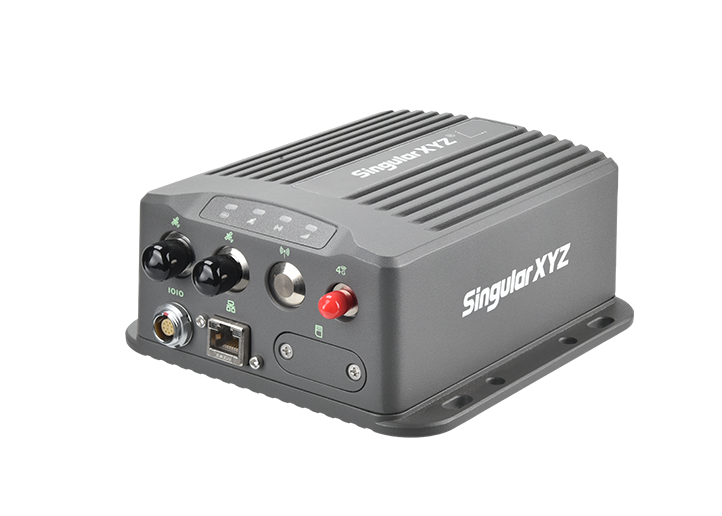
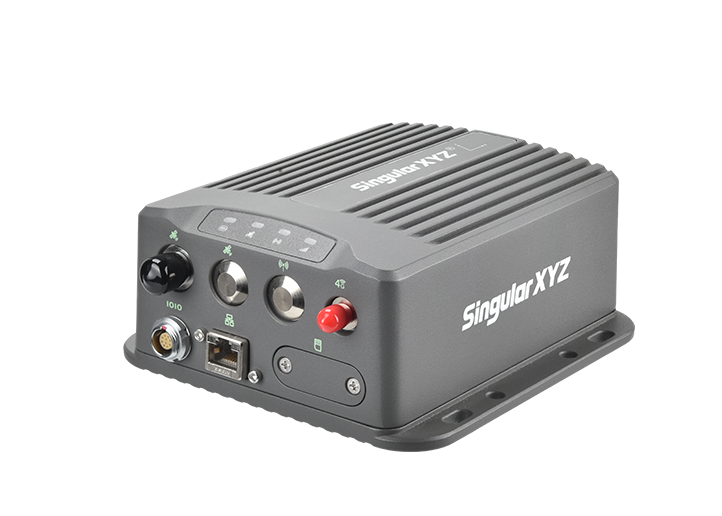
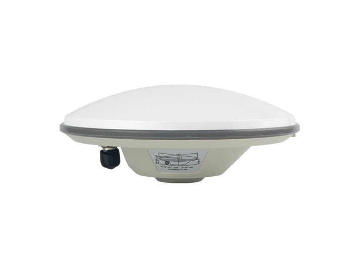
Xbase GNSS Receiver
3.2 Key Capabilities
Horus Visual & Laser GNSS Receiver:
Powered by HD cameras and advanced visual algorithms, Horus enables intuitive visual surveying workflows.
Integrated laser and rear camera enable precise non-contact measurements at distances of up to 120 m.
Dual cameras enable accurate AR stakeout with automatic camera switching.
High-quality visual surveying data collection supports efficient 3D modeling and mapping workflows.
Advanced IMU technology ensures stable and accurate measurements in complex environments.
Full-constellation, IP67 protection, long battery life, and smart connectivity support reliable performance.
Xbase GNSS Receiver
Professional GNSS base station with reliable RTK correction transmission for high-precision surveying.
Built-in 5W UHF radio supports long-range correction broadcasting up to 25 km.
Full-constellation tracking ensures stable positioning performance
13200 mAh battery and IP68 protection support reliable all-day field operations.
4G, Bluetooth, Wi-Fi, and multiple interfaces enable flexible connectivity and data management.
3.3 Why Horus + Xbase RTK Kit?
Xbase was chosen as the RTK base for its stable, 5W radio transmission, ensuring reliable corrections data transmission in a challenging coastal environment. Paired with Horus as the rover, featuring visual and laser surveying, the system enabled fast and accurate non-contact measurements. Together, they delivered a dependable RTK workflow for precise coastal surveying and RPAS support.
4. Project Execution
The project was completed through the following steps:
4.1 Set Up RTK Base Station
Xbase was installed on an official INEGI control point as the RTK base station, providing a reliable coordinate reference for the survey. With its 5W internal radio, Xbase provided reliable correction signals for the rover, ensuring accurate positioning in an urban coastal environment.
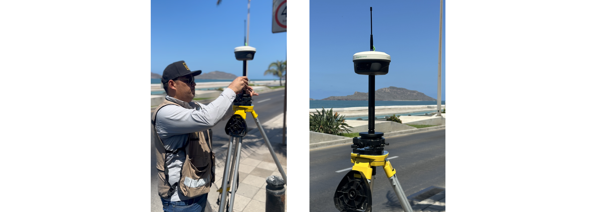
Set Base Station with Xbase GNSS Receiver
4.2 Collect High-Precision Survey Points
Horus was used as the RTK rover to survey high-precision Ground Control Points (GCPs) for the RPAS aerial survey, as well as other critical elevation points across the study area. Equipped with visual surveying and laser surveying technologies, Horus enabled efficient contact and non-contact point collection, improving measurement efficiency in coastal zones and difficult-access areas while reducing operational challenges in the field.
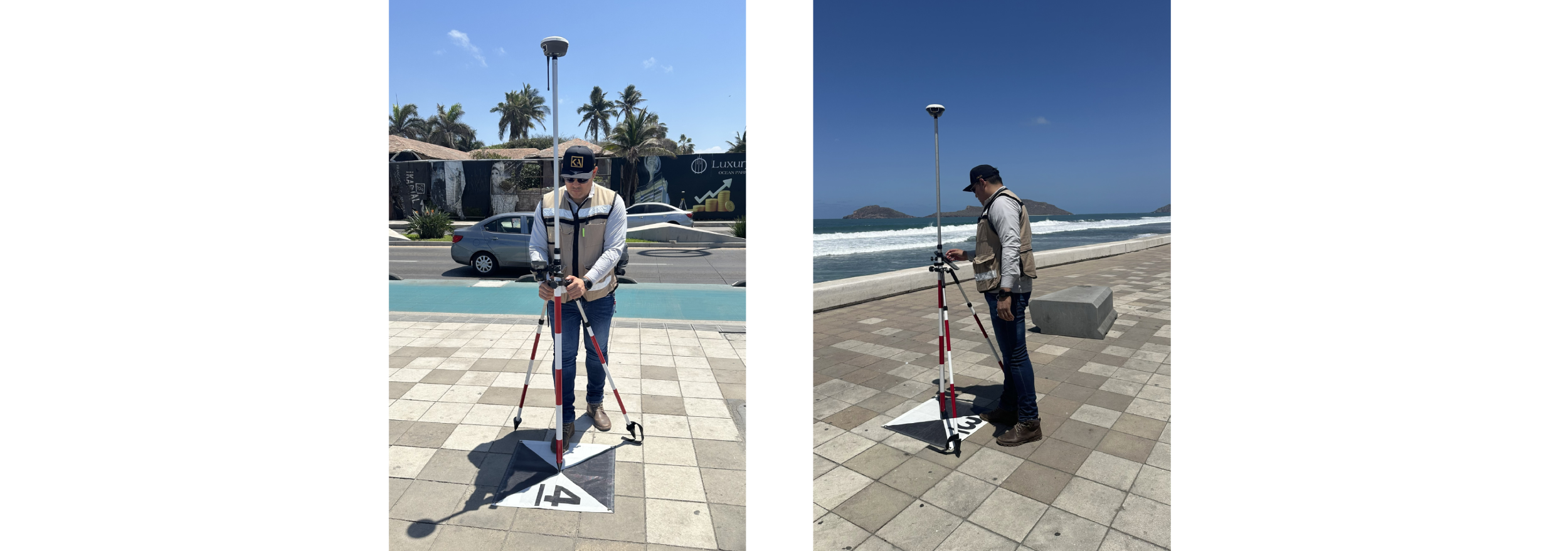
Surveying ground control points and key elevation points
4.3 Integrate Survey Data
The high-precision GNSS data collected by Xbase and Horus was used for RPAS photogrammetry georeferencing and elevation analysis. The accurate control points supported the generation of reliable orthophotos and Digital Elevation Models (DEMs) for further evaluation.
4.4 Support Hydrogeological Assessment
The collected elevation data provided a reliable foundation for hydraulic calculations and coastal groundwater analysis. The survey results supported the evaluation of seawater intrusion risks and contributed to more effective management of coastal freshwater resources.
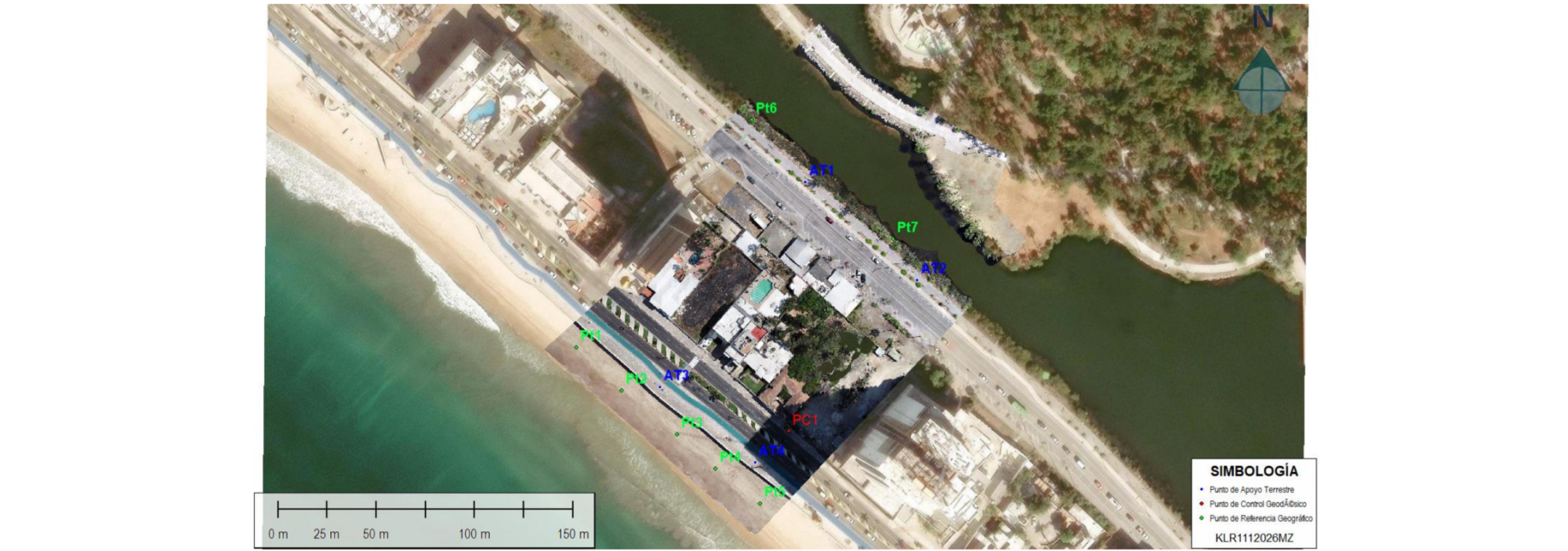
Hydrogeological Assessment
5. Results
The Xbase and Horus RTK solution enabled efficient and high-precision data collection for coastal hydrogeological assessment. The survey achieved centimeter-level accuracy and completed the field data acquisition in approximately 1 hour and 20 minutes, significantly improving efficiency compared with conventional surveying methods.
The reliable GNSS data provided high-quality ground control points and elevation information for RPAS photogrammetry, supporting the generation of accurate topographic products and 3D models. The final survey results contributed to coastal groundwater analysis, seawater intrusion risk evaluation, and sustainable freshwater resource management.
6. Customer Quote
The type of project required highly reliable data and a stable fixed solution, given that the service was run 200 km away from the city of origin. The planning considered that the survey should be completed in a single day, avoiding any setbacks that could generate rework or the need to return to the site on another date.
Therefore, priority was given to robustness in the configuration of the GNSS equipment and efficiency in data capture, ensuring that all geospatial information was obtained correctly in the available time and with the necessary accuracy for subsequent hydraulic analysis.
– KALER Soluciones Geomáticas, SingularXYZ Mexico Partner
About SingularXYZ
SingularXYZ specializes in high-precision GNSS PNT (Positioning, Navigation & Timing) technology, delivering reliable and professional products, solutions, and services for both cross-industry applications and specialized vertical markets, such as geospatial surveying, precision agriculture, machine control, robotics and IoT.
With operations covering over 120 countries and regions, SingularXYZ holds over 40 patents and software copyrights and complies with ISO management system standards. The company is also recognized in China as a National High-Tech Enterprise, an SRDI Enterprise (Specialized, Refined, Differentiated and Innovative), and an Innovative Enterprise. Supported by a dedicated R&D team and a 1,000 m² office and development facility, the company continues to invest steadily in technology innovation and product development.
SingularXYZ is committed to bringing high-precision positioning and intelligent technologies into practical use, supporting digital, efficient, and intelligent systems that underpin everyday operations across industries and broader society.
About KALER Soluciones Geomáticas
At KALER, we transform technical knowledge into strategic solutions for the land. With over 25 years of experience in applied geomatics, we are leaders in Legal Surveying, Expert Reports, Land Use Planning, and Civil Engineering with a geospatial focus.
Our team combines academic excellence and technological expertise—GIS, GNSS, drones, LiDAR—to offer precise, reliable, and contextualized analyses. Every project we undertake stems from a clear vision: the land is more than just soil; it is history, law, and future.
That's why we work alongside public, private, and judicial institutions, providing legally sound technical support, from the initial boundary demarcation to the final planning model.