


 Home
Home

Geospatial
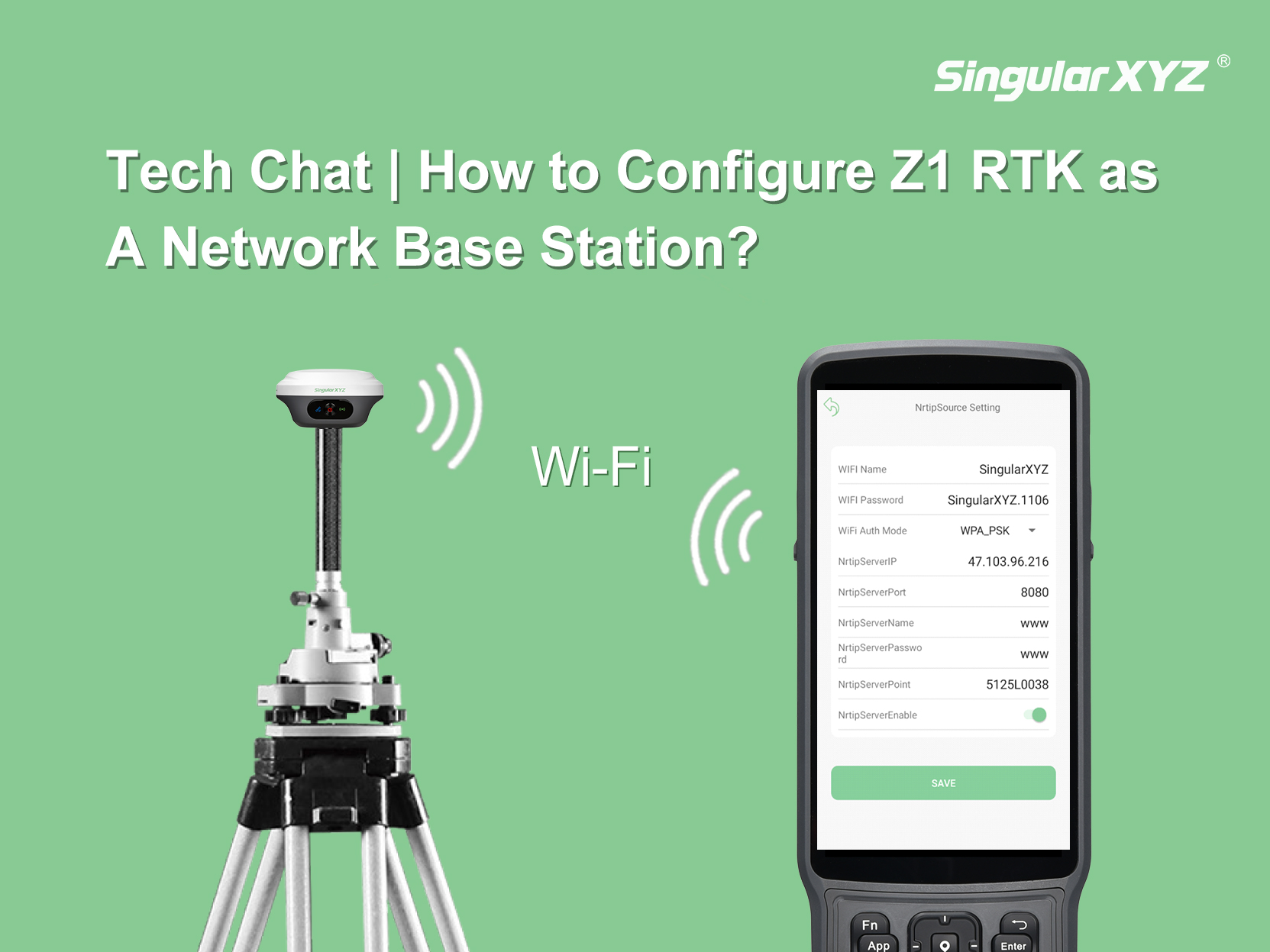
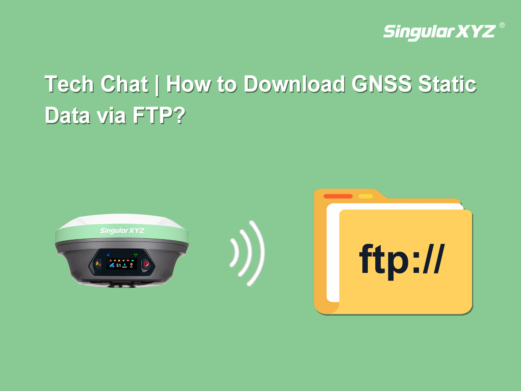
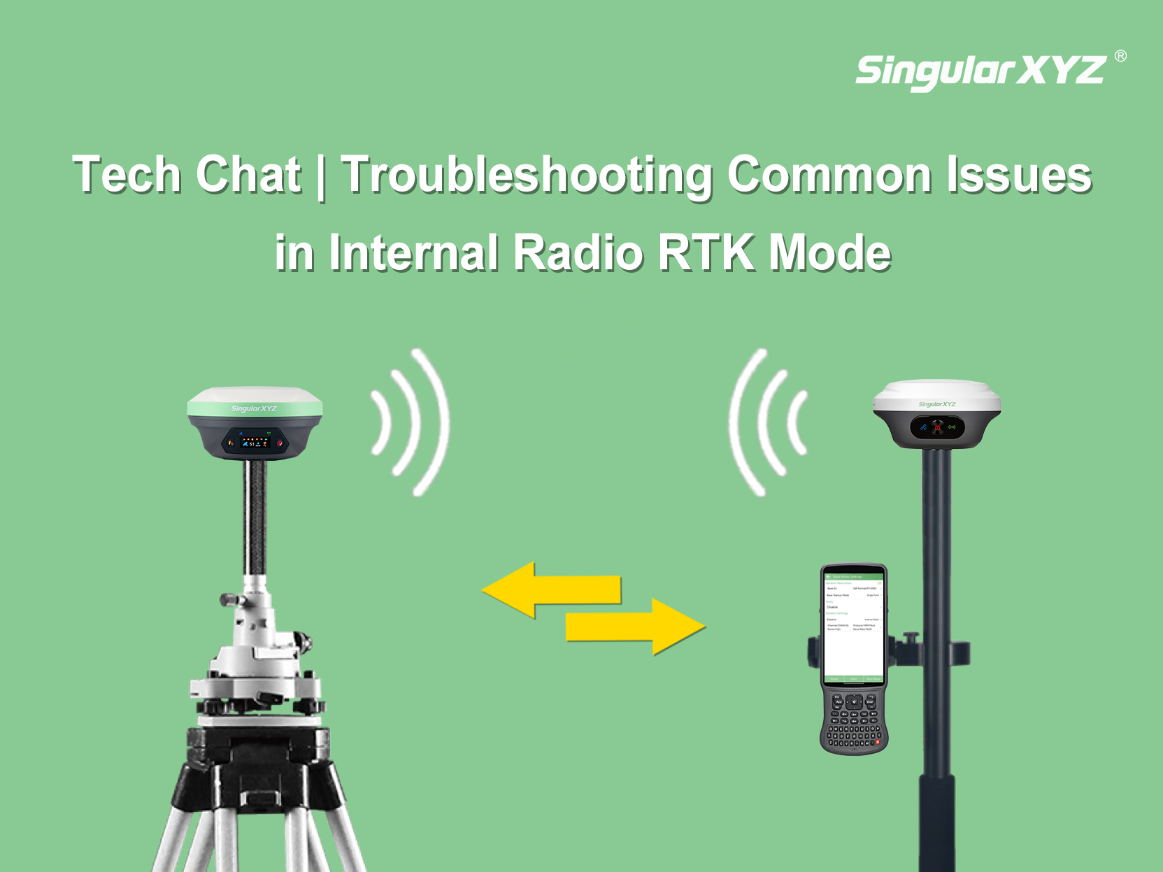
Tech Chat | Troubleshooting Common Issues in Built-in Radio Mode
When using the built-in radio mode, you may occasionally run into issues that prevent the rover from receiving corrections normally. In this blog, we walk you through the most common symptoms and how to troubleshoot them step by step.
learn more