Geospatial
RTK
GNSS Receiver
Tech Chat | How to Use the Volume Calculation Function in SingularPad
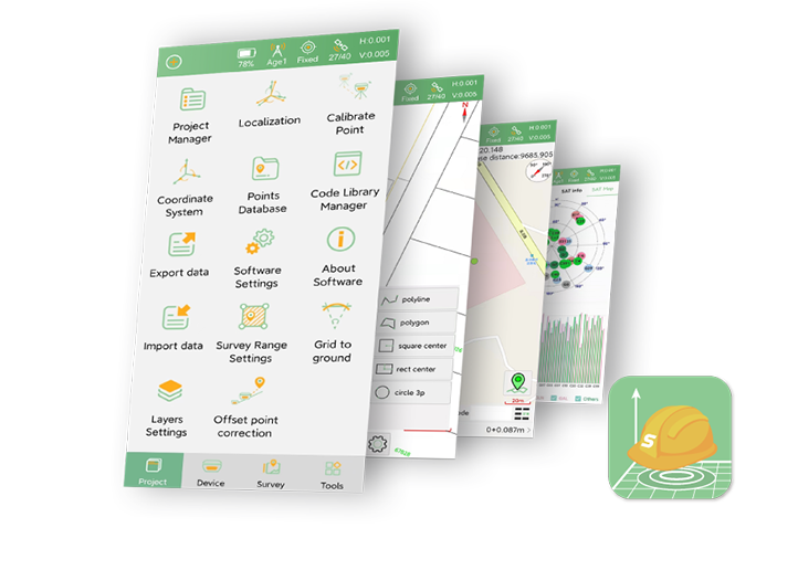
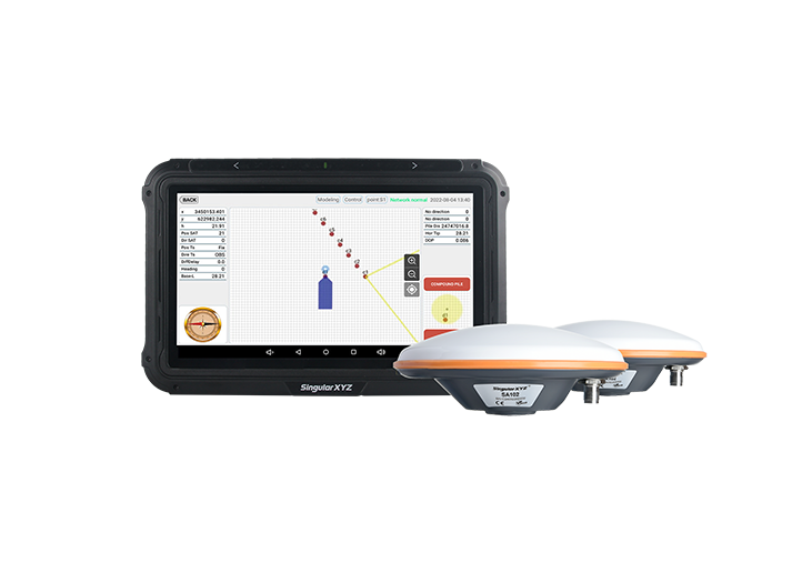
Volume calculation is a common task in engineering surveying. Compared with traditional manual calculations, the volume calculation function in SingularPad is fast, intuitive and accurate, helping users significantly reduce field & office workload
Geospatial
RTK
Scanner
Laser Scanner
Point Cloud
Tech Chat | How to Enable RTK Positioning For H1 Point Cloud Scanning
In this Tech Chat, we introduce how to use the H1's NTRIP feature to enable RTK positioning during scanning, allowing point cloud data to be generated with absolute coordinates from the start.
Geospatial
RTK
GNSS Receiver
Coordinate System
Tech Chat | Querying Coordinate Reference Systems for GNSS and Surveying Projects
When creating a new surveying project, setting the correct coordinate system is a critical step. If your required coordinate system is not included, you will need to manually import the parameters. This is where EPSG.io becomes a practical tool.
Agriculture
Tractor
Autosteer
Farming
Tech Chat | Exporting and Importing AB Line Data in SAgro-Series Auto-Steering Software
In scenarios such as equipment upgrades, multi-tractor collaboration on the same field, or routine data backup often require AB line data to be exported and imported. This guide explains how to export and import AB lines and farm data.
Geospatial
PPK
RTK
GNSS Receiver
Tech Chat | RTK vs PPK: Key Differences in Data Processing & Accuracy
This blog takes a closer look specifically at RTK and PPK, explaining how they differ in terms of data processing, accuracy, and workflow, and why these differences matter in real-world engineering and surveying applications.
Geospatial
RTK
GNSS Receiver
Tech Chat | Configure X1 Lite GNSS Receiver as a Network Base
In previous blog, we introduced how the Z1 series without built-in 4G module can be configured as a network base station via a mobile hotspot or Wi-Fi. Today, we will show how the X1 Lite can be configured as such a network base
Geospatial
RTK
GNSS Receiver
Laser
Tech Chat | Mastering Laser Surveying on Horus with Camera-Aided Targeting
The Horus takes laser surveying function a step further with its camera-assisted targeting, designed to overcome the limitations of naked-eye targeting and enhance long-range precision. In this blog, we will introduce how this feature works.
Geospatial
GNSS
UTM
Projection
Tech Chat | Understanding UTM Zones in GNSS Surveying
One of the most widely used projections is the Universal Transverse Mercator (UTM) coordinate system, which divides the world into 60 narrow zones to reduce distortion. Understanding which UTM zone your site belongs to...
Geospatial
RTK
GNSS Receiver
Radio
Tech Chat | Troubleshooting Common Issues in Built-in Radio Mode
When using the built-in radio mode, you may occasionally run into issues that prevent the rover from receiving corrections normally. In this blog, we walk you through the most common symptoms and how to troubleshoot them step by step.
Geospatial
RTK
GNSS Receiver
Tech Chat | How to Configure Z1 as a Network Base Station?
For Z1 Series receivers without a built-in 4G module, one might wonder — is it still possible to operate as a network base? In this blog, we'll walk you through how to configure your Z1 series receiver as a network base station
Geospatial
RTK
GNSS Receiver
Drone
Tech Chat | How to Setup the Y1 GNSS Receiver as a Drone Base
In our previous blogs, we've introduced how to configure X1-series as a drone base via its built-in caster and wifi connection. In this blog, we will introduce how to configure the Y1 GNSS receiver as a drone base.
Geospatial
RTK
GNSS Receiver
FTP
Tech Chat | How to Download Static Data via FTP
In addition to downloading static data through the web interface or USB cable, you can also use FTP (File Transfer Protocol) as an alternative method, which can be helpful in specific situations — for example, when you need to batch manage files
Geospatial
RTK
GNSS Receiver
UAV
Drone
Tech Chat | Setting Up X1 GNSS as a Drone Base Station with SingularPad
In drone mapping and inspections, achieving centimeter-level positioning is critical. In this blog, we'll show you how to configure the X1 as a base and stream correction data directly to a DJI drone via SingularPad and the X1's built-in caster.
Geospatial
RTK
GNSS Receiver
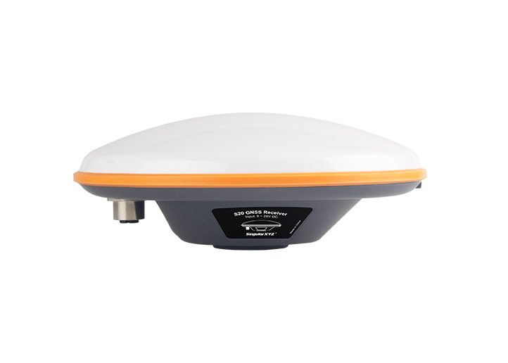
Tech Chat | How to Configure the S20 as a CORS Reference Station
The S20 features a high-precision GNSS engine with full constellation tracking and multiple operating modes. In this blog, we will walk you through the steps to configure the S20 as a network base station/CORS station.
Geospatial
RTK
GNSS Receiver
Tech Chat | When & Why to Use Calibration Point (Grid Shift)
When conducting surveys, even small errors in base station coordinates can affect the accuracy of your measurements. To address this, most surveying software provides a function called Calibrate Point/Grid Shift.
Geospatial
RTK
GNSS Receiver
skyplot
Tech Chat | Understanding Skyplots in GNSS Workflows
In GNSS surveying, understanding satellite availability and distribution is essential for accurate measurements. One of the most intuitive tools for this purpose is the Skyplot—a visual representation of the satellites above your survey point.
Geospatial
RTK
GNSS Receiver
Tech Chat | Three Stakeout Reference Methods in SingularPad Explained
Stakeout tasks often depend on a data collector’s compass for direction. But in environments with magnetic interference, this can fail. SingularPad offers three alternative reference methods—E-Compass, Device Panel Towards, and Pole Tip Towards
Geospatial
RTK
GNSS Receiver
GNSS
Tech Chat | How to Read and Use NGS Antenna Calibration Files (ANTEX & ANTINFO)
In our previous post, we explained the basics of GNSS antenna calibration and the role of NGS certification. This time, we'll take a closer look at the calibration files produced by NGS—ANTEX and ANTINFO
Geospatial
Data collector
Tech Chat | Common Data Collector Problems and How to Solve Them
The data collector is one of the most widely used tools in modern GNSS surveying. However, like any device, issues may occasionally occur. This blog outlines two common issues with data collectors and their practical solutions.
Geospatial
RTK
GNSS Receiver
Tech Chat | Three Coordinate Adjustment Methods: Localization, Calibrate Point & Post-Measure Correction
In daily measurement work, we may often need to change the coordinates. Our SingularPad field surveying software has three ways to achieve coordinate changes: Localization, Calibrate Point and Post-Measure Correction.
Geospatial
RTK
GNSS Receiver
NGS
Tech Chat | GNSS Antenna Calibration Explained – And What NGS Certification Really Means
Antenna calibration plays a vital role in eliminating systemic errors, especially in centimeter-level surveying. In this blog, we'll explore how GNSS antennas are calibrated, what role NGS certification plays
Geospatial
RTK
GNSS Receiver
Tech Chat | Code Library Workflow (Part 3):
Fast Codes for Efficient Survey Workflows
Following previous blogs, this final post in the series explores the Fast Code functionality in SingularPad — designed to speed up survey workflows that involve repeated code entry, such as road cross-sections or topographic transects.
Geospatial
RTK
GNSS Receiver
Tech Chat | Code Library Workflow (Part 2):
Using Codes and String Numbers in Field Surveys
Continuing from Part 1, this blog focuses on how to use the codes in field measurements — including selecting codes, searching, and using string numbers for linework control and export.
Geospatial
RTK
GNSS Receiver
MSM4
Tech Chat | Understanding MSM4:
The Universal Message Format in GNSS RTK
In this article, we'll break down what MSM4 is, what it includes, how it compares to other MSM types, and why it has become the go-to solution for differential GNSS corrections today.
Azimuth
RTK
Surveying
GNSS
Tech Chat | How to Stakeout Points Using Azimuth & Distance
In some countries like the United States, Canada, or parts of Europe — especially when working with legacy survey maps or cadastral plans — point positions are are described not by coordinates, but by their azimuth and distance relationships.
Geospatial
RTK
GNSS Receiver
INS
Navigation
Test Report | SV100 INS Series Performance Field Test Under Diverse Environments
To verify the real-world performance of the SV100 INS Series receivers in various GNSS-challenged environments, SingularXYZ conducted a structured dynamic vehicle test through diverse urban and semi-enclosed scenarios
Geospatial
RTK
GNSS Receiver
IMU
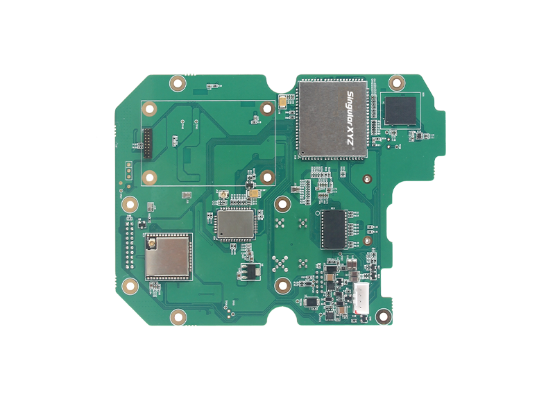
Tech Chat | Understanding Main Functional Modules in RTK GNSS Receivers
Continuing this series, today's blog will focus on the main functional modules integrated into the receiver's mainboard. These components are crucial for achieving high-precision positioning and enabling smart field applications.
PPP
SBAS
CORS
RTK
GNSS
Tech Chat | Choose the Right GIS Work Mode for Your Needs
In this blog, we break down the differences between CORS, PPP, and SBAS work modes, compare SingularXYZ's GIS solutions, and provide step-by-step tutorials to help you optimize your workflow.
Geospatial
RTK
GNSS Receiver
Tech Chat | How to Access the Web Page of Z1 GNSS Receiver?
If you're using the Z1 GNSS receiver, there may be times when you need to access its web page to download static data, update firmware, or others. In this blog, we'll walk you through the steps to access the Z1 web interface.
Geospatial
RTK
GNSS Receiver
Tech Chat | Choose Your RTK - 2025 SingularXYZ GNSS Receiver Lineup Comparison
In this blog, we present an updated comparison of our GNSS receivers to help you make an informed decision based on the latest models, performance specifications, and key features.
Geospatial
RTK
GNSS Receiver
Laser surveying
Tech Chat | Mastering Laser Surveying with Orion ONE
To facilitate everyone's use and to demonstrate the operation to interested professionals, in today's blog, we will introduce in detail how to use the laser surveying function and related precautions.
Geospatial
RTK
GNSS Receiver
AR stakeout
Laser surveying
SingularXYZ FAQ | Orion ONE's Laser, AR & Performance Features Explained
In our previous blog, we focused on the laser surveying capabilities of the Orion ONE visual and laser RTK receiver. Today, we’ll address more FAQs, including laser surveying limitations, AR stakeout WiFi usage...
Geospatial
RTK
GNSS Receiver
Laser surveying
FAQ | Common Questions About Orion ONE Laser Surveying
Since the release of the Orion ONE visual and laser RTK receiver, we've received some questions from users curious about its new laser surveying function. In this blog, we'll address some of the FAQs.
Geospatial
RTK
GNSS Receiver
Safety
Tech Chat | How to Add and Connect Devices to the SingularThings IoT Platform?
In this blog, we'll walk you through adding and connecting P2 devices to the SingularThings platform, followed by an overview of its customizable features.
Geospatial
CORS
GNSS Receiver
Tech Chat | How to Upgrade SingularCaster Software
At the end of our last blog, we addressed common login issues with the SingularCaster software. In this blog, we'll provide a step-by-step guide to properly reinstall and update the SingularCaster software.
Geospatial
RTK
GNSS Receiver
PPP
SBAS
Tech Chat | How to Enable SBAS and PPP Mode on Sfaira ONE Series
In this blog, we'll guide you through enabling the SBAS and PPP functions on the Sfaira ONE Series receiver. For a detailed introduction to these technologies, check out our previous blogs:
Geospatial
Static
GNSS Receiver
Tech Chat | How to Obtain GNSS Static Data With Sfaira ONE Series?
Recently, Sfaira ONE Series users have also expressed interest in obtaining static data, although this model lacks internal storage. In this blog, we'll walk you through how to obtain static data from it via a Type-C USB cable for easy transfer.
Autosteer
GNSS
Tablet Crash
Tech Chat | How to Resolve Stuck or Crashing Issues in Autosteer Software?
Recently, we've received feedback from users experiencing lag or crashes when running PrecisionAg Autosteer software on the T10 tablet. This blog will show you how to troubleshoot and fix these issues.
Geospatial
RTK
GNSS Receiver
Tech Chat | Understanding The Meaning & Accuracy of Common RTK Solutions
In daily GNSS RTK surveying, the RTK solution is an important indicator for positioning reliability and accuracy. In this blog, we will introduce the meaning of each RTK solution and its typical accuracy, and how do they affect your results?
Geospatial
RTK
GNSS Receiver
RTKLIB
Tech Chat | STRSVR: A Key Tool for GNSS Data Transfer and Debugging
In the field of GNSS applications, a reliable tool for data transfer and debugging is sometimes very helpful. RTKLIB STRSVR serves as an easy-to-use network transfer auxiliary tool that supports various protocols.
Geospatial
RTK
Ntrip Caster
CORS
FAQ | Troubleshooting Common Issues with SingularCaster Software
When managing a CORS network with SingularCaster, users may occasionally encounter login failures that disrupt their workflow. This blog will focus on common login problems associated with SingularCaster.
Geospatial
RTK
GNSS Receiver
NMEA-0183
Tech Chat | Understanding NMEA Messages: Key to High-Precision Positioning
In the world of high-precision surveying, NMEA messages are essential for reliable communication between GNSS receivers and other devices. In this blog, we'll break down key NMEA messages.
Geospatial
RTK
GNSS Receiver
Photovoltaic
Tech Chat | Simplifying Photovoltaic Stake-Out with SingularPad
In this blog, we will walk you through a step-by-step guide on conducting an efficient and accurate photovoltaic stake-out using SingularPad, ensuring your projects are executed with precision, regardless of the terrain.
Geospatial
CORS
Ntrip Caster
Tech Chat | How to Build a Personal Server for SingularCaster CORS Software
For CORS owners, to build a server for the CORS software/NtripCaster platform is the very first step. A stable network environment, high data processing capacity, and reliable long-term operation can guarantee better results.
Geospatial
RTK
GNSS Receiver
GNSS Antenna
Tech Chat | Understanding Antenna Phase Center & Its Calculation
In satellite positioning, the original calculated coordinates is the location of the GNSS antenna phase center (APC). In today's blog, we'll delve into what the antenna phase center is, how it's calculated...
Geospatial
RTK
GNSS Receiver
APN
4G
Tech Chat | What is APN & How To Setup in SingularXYZ Products?
Understanding the role of APN (Access Point Name) is crucial for those who use mobile internet services. In this blog, we will explain what APN is, how it works, and how to configure it in SingularXYZ products.
Geospatial
RTK
GNSS Receiver
Base
Tech Chat | Tips for Setting Up a Reliable Base Station
For beginners in RTK surveying, setting up the RTK base correctly and reliably can be challenging without proper guidance. In today's blog, we will cover essential tips to help you set up your base station correctly.
Geospatial
RTK
GNSS Receiver
Test Report
Test Report | Sfaira ONE Performance in Different Environments
In this test report, we evaluate the performance of the Sfaira ONE Series, based on detailed testing conducted by our user Ari Kilpelä, D.Sc., CEO of Dimense Oy, sharing its accuracy, precision, and tilt capabilities in different environments.
Geospatial
RTK
Drone Mapping
UAV
Tech Chat | Setting Up a Base Station for Drone Operations via Receiver’s Caster
In certain drone applications, like drone mapping or autonomous driving inspections, achieving centimeter-level accuracy is essential. This blog will guide you through setting up a base station through a WiFi connection.
Geospatial
Azimuth
Bearing
Surveying
Tech Chat | Difference Between Azimuth and Bearing in Land Surveying
In the field of geodesy, azimuth and bearing are both for identifying directions and angle differences between points. Today's blog let's understand the differences between them to help surveyors ensure accurate survyeing.
Geospatial
RTK
GNSS Receiver
Line Stakeout
Tech Chat | Line-related surveying tasks in SingularPad – Part 2 Stakeout
In the previous chapter, we explored various workflows for creating lines within SingularPad software. In this blog, let’s delve into conducting line stakeouts using different methods to cater to diverse tasks.
Geospatial
Surveying
Map
SingularPad
Tech Chat | How to Set & Calibrate Base Maps for Your Surveying Tasks?
In various surveying tasks and project scenarios, there are different requirements about the base maps. Tailored to meet such specific needs, SingularPad offers support for a range of base map types.
Geospatial
RTK
GNSS Receiver
Line Surveying
Tech Chat | Line-related surveying tasks in SingularPad – Part 1
In the realm of surveying, in addition to the basic point survey and stakeout, the line-related tasks are also very common and important. In this blog, let's look closely at the possible workflows about creating lines.
Geospatial
RTK
GNSS Receiver
Tech Chat | How to Tackle CORS Coverage Gaps via SingularXYZ Caster?
Here, we present a step-by-step guide of how to setup the X1-series as base station and deliver differential data to the Sfaira ONE series via SingularXYZ Caster over 4G, enabling you to undertake RTK measurements with ease.
Geospatial
RTK
GNSS Receiver
AR
Tech Chat | Maximizing Stakeout Efficiency with SingularPad's AR Integration
As AR (Augmented Reality) technology continues to permeate various industries. By integrating AR into the SingularPad software’s stakeout function, surveyors can maximize stakeout efficiency through virtual guidance on the software.
Geospatial
RTK
GNSS Receiver
Static
Tech Chat | How to record static data when the receiver is working as RTK Base?
Due to certain project specifications and accuracy verification requirements, sometimes our users will need to have the receiver record static data simultaneously while it is working as RTK base.
Geospatial
RTK
GNSS Receiver
CORS
Tech Chat | A Comprehensive Introduction & Guide to CORS
In this blog, we will combine and summarize previous blogs and comprehensively introduce the definition, advantages, applications, construction and configuration of CORS to give you a complete understanding.
Geospatial
RTK
GNSS Receiver
Antenna Height
Tech Chat | How To Measure & Set the Height of RTK Base Station?
When using GNSS receivers for surveying, accurately measuring antenna height is crucial for both static measurements and setting up RTK bases. In today's blog, we will explore how to measure and configure the antenna height.
Geospatial
CORS
Ntrip Caster
Server
Tech Chat | How To Choose An Ideal Cloud Server For Your CORS Software?
In this blog post, we will delve into selecting the suitable cloud server for your CORS platform, including considerations for parameter selection, assisting you in configuring and managing your CORS effectively.
Geospatial
RTK
GNSS Receiver
GIS
Tech Chat | How to Add Attributes to Measured Features During Surveys
As GISers and surveyors are familiar with, the geo-features come with a couple of attributes. Some are automatically generated based on the measured coordinates, such as the length of the line and the area of the surface.
Geospatial
RTK
GNSS Receiver
Tech Chat | Choose Your Right One - Exploring SingularXYZ GNSS Receiver Lineup
In this latest blog, let's delve deeper into a comprehensive comparison of all our GNSS receivers, exploring their unique features, functionalities, work modes, and application domains.
Geospatial
RTK
GNSS Receiver
IMU
Tech Chat | How to Use Receiver IMU as a Compass for Stakeout?
Have you ever encountered challenges when staking out due to a failing controller compass? This blog will guide you through utilizing the receiver's IMU as a compass for stakeout, ensuring accurate navigation even when compasses fail.
Geospatial
GNSS
PPP
Galieo
HAS
Tech Chat | How to Use Galileo HAS?
In the last chapter, we introduced you to the transformative potential of Galileo's High Accuracy Service (HAS). Now, let's delve deeper into how our products seamlessly integrate with HAS.
Geospatial
RTK
GNSS Receiver
Surveying
Tech Chat | Enhancing Teamwork: Sharing Coordinate System Parameters in SingularPad Software
Effective communication is crucial for successful project execution. In this blog post, we'll explore how to effortlessly share these parameters with your fellow surveyors using the SingularPad software.
Support
Autosteer
Tech Chat | Efficient Communication for Resolving Technical Issues
- Chapter 2 Agricultural Questions
In our previous chapter, we explored effective communication with technicians. In this chapter, we will pivot our focus to another critical application domain—GNSS agricultural systems, specifically auto-steering kits.
Geospatial
RTK
GNSS Receiver
Total Station
Coordinate System
Tech Chat | Grid to Ground:
Bridging the Gap Between RTK & Total Station Observation
In precision measurement projects, the seamless integration of total stations and GNSS equipment is essential. In this blog, we will introduce how to bridge the gap between RTK and total station reference.
Geospatial
RTK
GNSS Receiver
Radio
Tech Chat | Mastering RTK Radio Mode Setup for Seamless Surveys
In our day-to-day RTK surveying, we usually use GSM or radio to transmit correction data from base to rover. In this blog, let’s unravel the intricacies of these concepts in radio mode to empower you in achieving a seamless setup.
Geospatial
Surveying
Coordinate Calculation
Tech Chat | Coordinate Forward & Inverse Calculations in Surveying and Mapping
In the field of surveying and mapping, coordinate inverse and forward calculation are very common methods. In this blog, we will introduce these concepts and simplify their practical application with SingularPad software.
Geospatial
GNSS Antenna
GNSS Receiver
Tech Chat | Understanding GNSS Positioning:
From APC to Ground Target Point
In daily RTK measurement, we usually need to input the height of the ranging pole in order to convert the coordinates into a ground target point. Have you ever wondered the original position measured by the GNSS receiver are?
Geospatial
RTK
GNSS Receiver
Road Stakeout
Tech Chat | Mastering Road Stakeout with SingularPad – Part 2
In the last chapter, we have explored how to import a road file like XML, and how to design a road file in different methods based on your project. After the preparation, in this blog, let's learn how to conduct the road stakeout in SingularPad.
GNSS
Geoid Model
Coordinate System
Tech Chat | What is geoid model and how to use it?
In previous blogs, we explored the distinctions between three common height measurements—geodetic height, normal height, and orthometric height. In this blog, let's learn what the geoid model is and demonstrate how to utilize it.
Geospatial
RTK
GNSS Receiver
Road Stakeout
Tech Chat | Mastering Road Stakeout with SingularPad – Part 1
To ensure the creation of safe and functional roads, the practice of "road stakeout" takes center stage. In this blog, we will introduce you to the process of initiating road stakeout tasks using the SingularPad field software.
Height
Elevation
Coordinate System
Tech Chat | What’s the difference between geodetic height, normal height and ortho-height?
In our daily surveying tasks, elevation is important in construction projects and other applications. In the elevation system, the most commonly used are orthometric height, normal height and geodetic height.
Tech Chat | How to conduct static measurement via web page?
Although RTK surveys are becoming more and more popular, static surveys are still necessary in some cases, such as control point surveys, signal quality tests before setting up CORS stations, etc.
Geospatial
CORS
GNSS Receiver
Tech Chat | How to set SV100 as a base with a router?
Recently, we have received lots of inquiries from our SV100 users about how to configure it as a base station. So in this blog, we will introduce how to configure SV100 as a base/reference station via Ethernet with a router.
Geospatial
RTK
GNSS Receiver
Tech Chat | Which RTK Rover is Right for you? – Differences between SingularXYZ Rovers
Since last year, SingularXYZ team has released multiple RTK devices. Today we have selected four of the most popular receivers, to compare the main features of each RTK device and help you find the most suitable working scene.
Geospatial
RTK
GNSS Receiver
Base
Tech Chat | How to set up SV100 as a portable base?
When using SV100 GNSS receiver as base, it can be set up as both CORS or portable base. Today, let us introduce how to set up SV100 as a portable base in the field for your surveying rovers, tractors or construction machines.
Geospatial
RTK
GNSS Receiver
Test
Tech Chat | How to test the RTK performance?
If you want to know exactly how your RTK receiver performs, you can test it by yourself. In today's blog, we'll introduce a simple way to test RTK performance in two aspects - accuracy and re-initialization time.
Geospatial
RTK
GNSS Receiver
CORS
VRS
Tech Chat | What is VRS and its advantages?
When selecting a mount point in CORS, in addition to normal mount points, you may often see VRS, nearest, etc. What do they mean and what’s the advantage of them?
Geospatial
RTK
GNSS Receiver
Tech Chat | What are the sources of RTK errors and how to avoid them?
For the application of GNSS positioning and navigation technology, such as surveying, precision agriculture, etc., RTK is most commonly used. So what are the main sources of RTK error? How should we avoid these errors?
Geospatial
RTK
GNSS Receiver
IMU
Test
Tech Chat | How to test the accuracy of IMU?
In past blogs, we've introduced what IMU is and how it works on our Y1 GNSS receiver. Today, we will introduce a conventional method of testing the accuracy of IMU, so that you can test your own equipment.
Geospatial
RTK
GNSS Receiver
Tech Chat | How to make your surveying more accurate? – Importance of Grid Shift
In daily surveying, we usually set up base stations on known points. What if there are no known points or the known points are far apart in some large-scale projects? How can we ensure the accuracy when shift or re-start the base?
Geospatial
RTK
GNSS
Solar Storm
Ionospheric
Tech Chat | How do solar storms affect RTK surveying?
Recently, you may also feel that RTK devices have become difficult to fix around the world, such as Vietnam and India. Because it is currently the active period of solar storms. So how do solar storms affect RTK surveying?
Geospatial
CORS
GNSS Antenna
Tech Chat | Should I Choose A Choke Ring Antenna For My Reference Station?
When supporting our SV100 users building reference stations, one of the most frequently asked questions is - should I use a choke ring antenna for SV100? What are the advantages of choke ring antenna over geodetic antenna?
Geospatial
GIS
GNSS Receiver
Tech Chat | How to make your RTK work with Mobile Topographer?
Different users have their own work habits and preferred software. In order to facilitate our vast user groups, our RTK products are compatible with common field surveying software and GIS software on the market.
Geospatial
SingularPad
Tech Chat | A Convenient Function for GIS – SingularPad Zigzag
In this blog, we will introduce ZigZag, a useful function for feature collection. It can automatically switch feature codes during work and allow surveyors to focus more on the environment, which is often used for linear acquisition tasks.
Geospatial
GIS
GNSS Receiver
Tech Chat | How to make your RTK work with GIS software?
Although both belong to the geospatial industry, GIS and surveying have different tendencies in the selection of equipment for point surveying work. GISers are more concerned about the compatibility with GIS software...
Land leveling
Agriculture
GNSS
Tech Chat | What’s the difference between GNSS land leveling and laser land leveling?
The land leveling as first step shows great importance for subsequent working procedures. In today's blog, let's compare the differences between the laser land leveling system or GNSS land leveling system?
Geospatial
RTK
GNSS Receiver
Total Station
Tech Chat | Which should I choose? - Total stations VS GNSS RTK receivers
Some surveyors prefer a total station, some prefer an RTK receiver, but still some are wondering which one should I choose? What's the difference between them? Let’s find out in this blog.
Geospatial
RTK
GNSS Receiver
FAQ | Y1 GNSS Receiver – Part 3 GSM/4G Mode
As one of our hot products, the Y1 GNSS receiver has a very wide user base, and they also encountered various technical questions in the process of using. We have summarized the FAQs, hoping to solve some of your confusion.
Geospatial
RTK
GNSS Receiver
FAQ | Y1 GNSS Receiver – Part 2 Common Notes in Use
As one of our hot products, the Y1 GNSS receiver has a very wide user base, and they also encountered various technical questions in the process of using Y1. We have summarized the FAQs, hoping to solve some of your confusion.
Geospatial
RTK
GNSS Receiver
FAQ | Y1 GNSS Receiver – Part 1 Radio Mode
As one of our hot products, the Y1 GNSS receiver has a very wide user base, and they also encountered various technical questions in the process of using Y1. We have summarized the FAQs, hoping to solve some of your confusion.
Autosteer
GNSS
Angle Sensor
Tech Chat | How does angle sensor work?
In automated steering system, it is necessary to know the real-time orientation of the tractor and then make adjustments. In this process, in addition to the attitude data obtained by the gyroscope, the angle sensor is also very important...
Geospatial
RTK
GNSS Receiver
Tech Chat | What is LoRa?
For most RTK users, radio is a common method of differential data transmission with no network coverage requirements. However, due to the limited transmission range and high power consumption...
Geospatial
RTK
GNSS Receiver
PPK
Static
Tech Chat | Which is better among Static Survey, RTK or PPK?
When selecting the GNSS products, we can see the static accuracy, RTK accuracy and PPK accuracy in the specifications. Of these common GNSS measurement methods, is the higher accuracy the better? What's the difference...
Geospatial
Coordinate System
Tech Chat | Projected Coordinate Systems - Malaysia Datum introduction
In this blog, we will introduce the major datum used in Malaysia. Except for some old Datum, the most commonly used projected coordinate system is GDM2000 now.
Geospatial
GNSS
QZSS
IRNSS
Tech Chat | A Way to Enhance GNSS Signal Tracking - Regional Satellite Systems
With these main GNSS systems, we can receive satellite signals in every corner of the world for our daily needs. However, on the one hand, the tracking satellites in some areas are fewer, and on the other hand, some countries...
Geospatial
GPS Time
UTC
Tech Chat | What’s the time now? – UTC and GPS Time
When asked for the time, you can read it from your PC, smartphone, watch or wall clock, which is what we use every day - your local time. Have you ever wondered how this time is defined?
Geospatial
RTK
GNSS Receiver
DOP
Tech Chat | How accurate is your GNSS device? – DOP Indicators
When using navigation and positioning products, have you ever seen the DOP indicators in the status bar such as VDOP, PDOP and HDOP? In this blog, we will show you what these DOP values mean...
Geospatial
RTK
GNSS Receiver
RTCM
Tech Chat | An Easy Way of Setting Projected Coordinate Systems – RTCM 1021-1027 Messages
In the last blog we introduced the RTCM protocol, normally we use RTCM32 to transmit RTK corrections. But in some countries, the local CORS will also transmit the projected coordinate systems via RTCM1021 -1027 messages
Geospatial
Tilt Surveying
RTK
Tech Chat - How Does A GNSS Receiver Implement Tilt Surveying?
In RTK surveying, it is necessary to keep the pole bubble in the center for a measurement. At that time, it's very tiring for the whole day of survey work. You may have the idea - Can we do the measurement without centering the bubble?
Geospatial
GIS
GNSS Receiver
How does P1 GNSS Receiver reach centimeter-level positioning with GIS software MyCumulus?
As a portable and wearable GNSS receiver, P1 is suitable for mobile and high precision applications. Some of our users are using P1 to collect GIS data. So how do we use our P1 with third-party GIS software?
Geospatial
GNSS Receiver
RTK
How To Choose A GNSS Receiver?
In this blog, our technologist will share his ideas and skills on how to choose the most suitable GNSS receiver for your needs, based on his over a decade of experience in the GNSS field.
Geospatial
GNSS
NMEA-0183
Tech Chat – What is NMEA-0183 & GPGGA?
As a surveyor, you've probably heard the word NMEA or GPGGA many times. Such as when using a GNSS device with an echo sounder, it always requires NMEA-0183 data stream from GNSS device to the echo sounder.
Geospatial
GIS
How does QFiled reach centimeter-level positioning accuracy with T8 Pro tablet?
For many in the GIS industry, QGIS is a very familiar desktop tool for editing and analyzing geospatial data. When field tasks are required, Qfield, the mobile phone software of the same series used for collecting GNSS data.


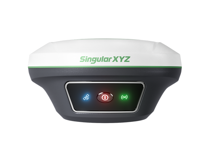 Horus Visual & Laser
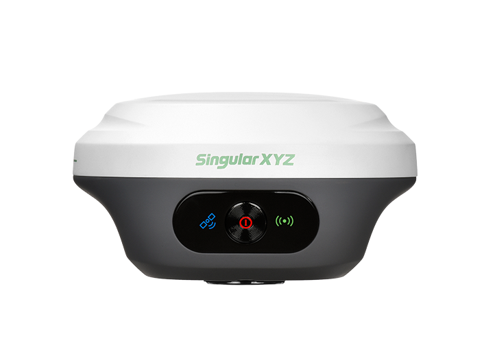 Orion ONE
 Orion ONE
 Orion ONE
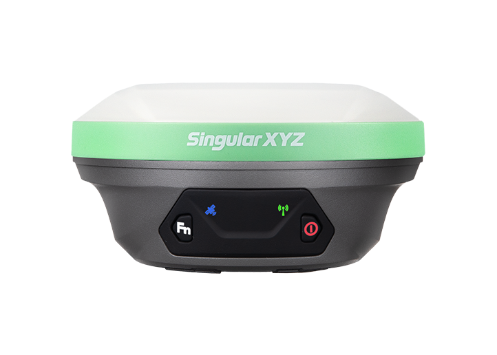 X1 GNSS Receiver
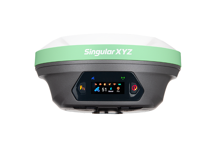 X1 Pro GNSS Receiver
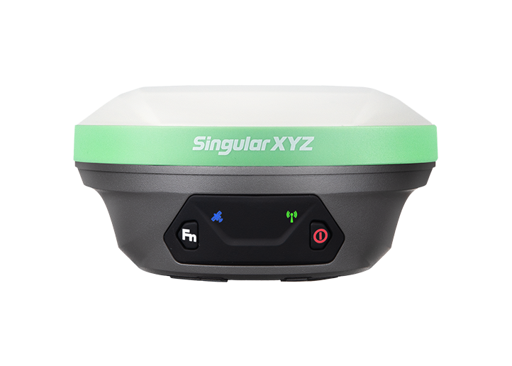 X1 Lite GNSS Receiver
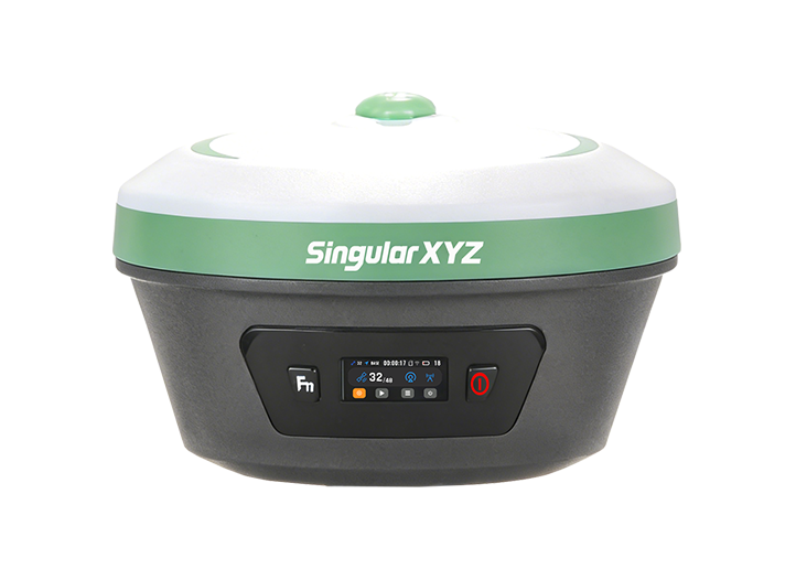 Xbase
Xbase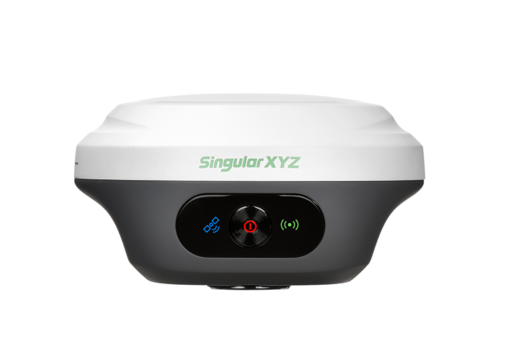 Z1 GNSS Receiver
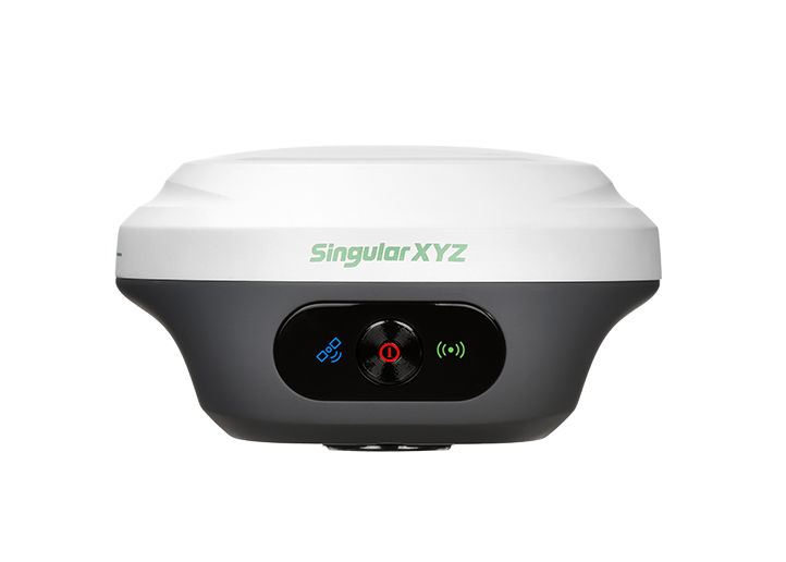 Z1 Lite GNSS Receiver
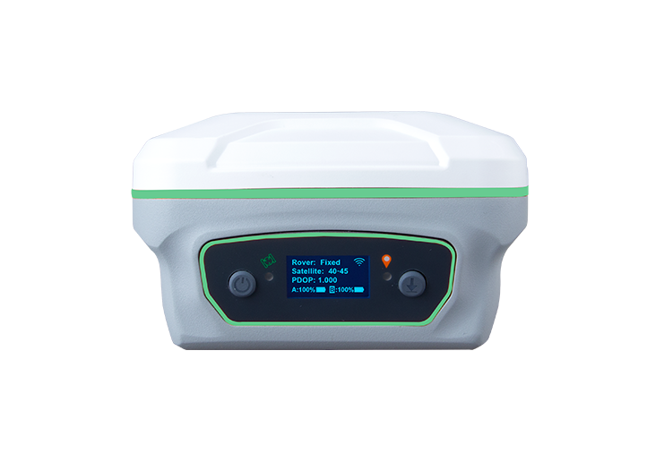 Y1 GNSS Receiver
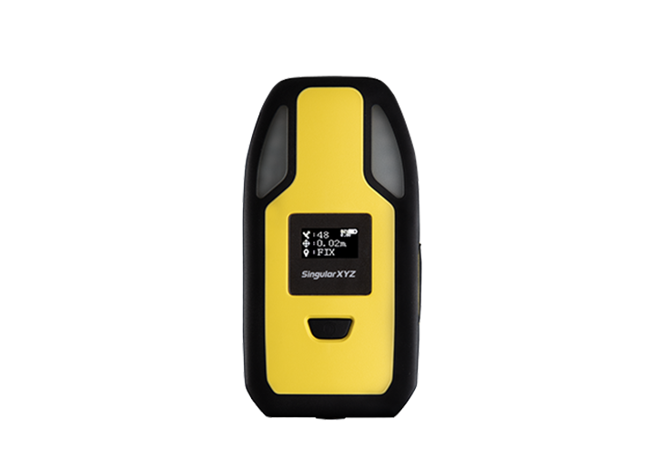 P2 Plus GNSS Receiver
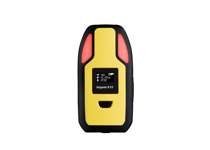 P2 GNSS Receiver
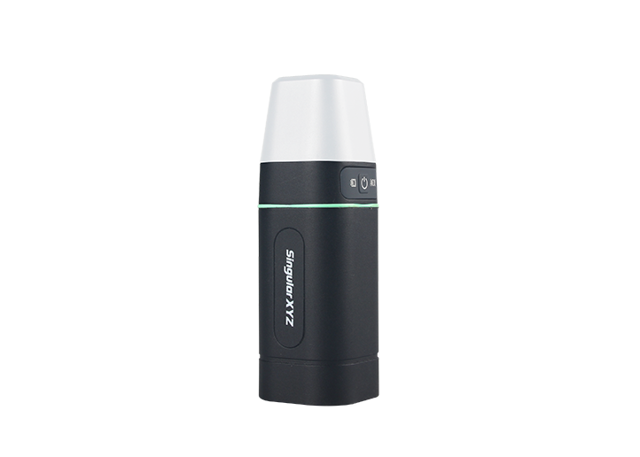 Sfaira ONE Plus GNSS Receiver
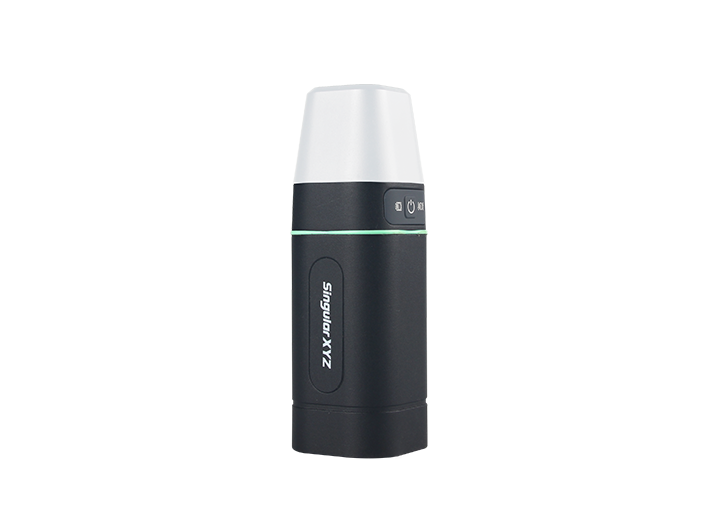 Sfaira ONE GNSS Receiver


